Mont-Saint-Michel – Work in Progress 7: The Abbey, 3rd Floor


The third and final floor of the abbey is finished. In the center is the cathedral, of course. Above it on the left is the cloister, with the refectory and kitchen on the right. For those of you not familiar with the term, a refectory is a dining room in an abbey. It strikes me as one of the least-necessary words in the English language, but there you go.

The area on the left side of the map is a huge, open-air terrace. The area outlined inside it is the foundation of a structure that was meant to be built there, but never was. Elsewhere on this level are an infirmary, a disused dormitory, a used dormitory and a small archives.

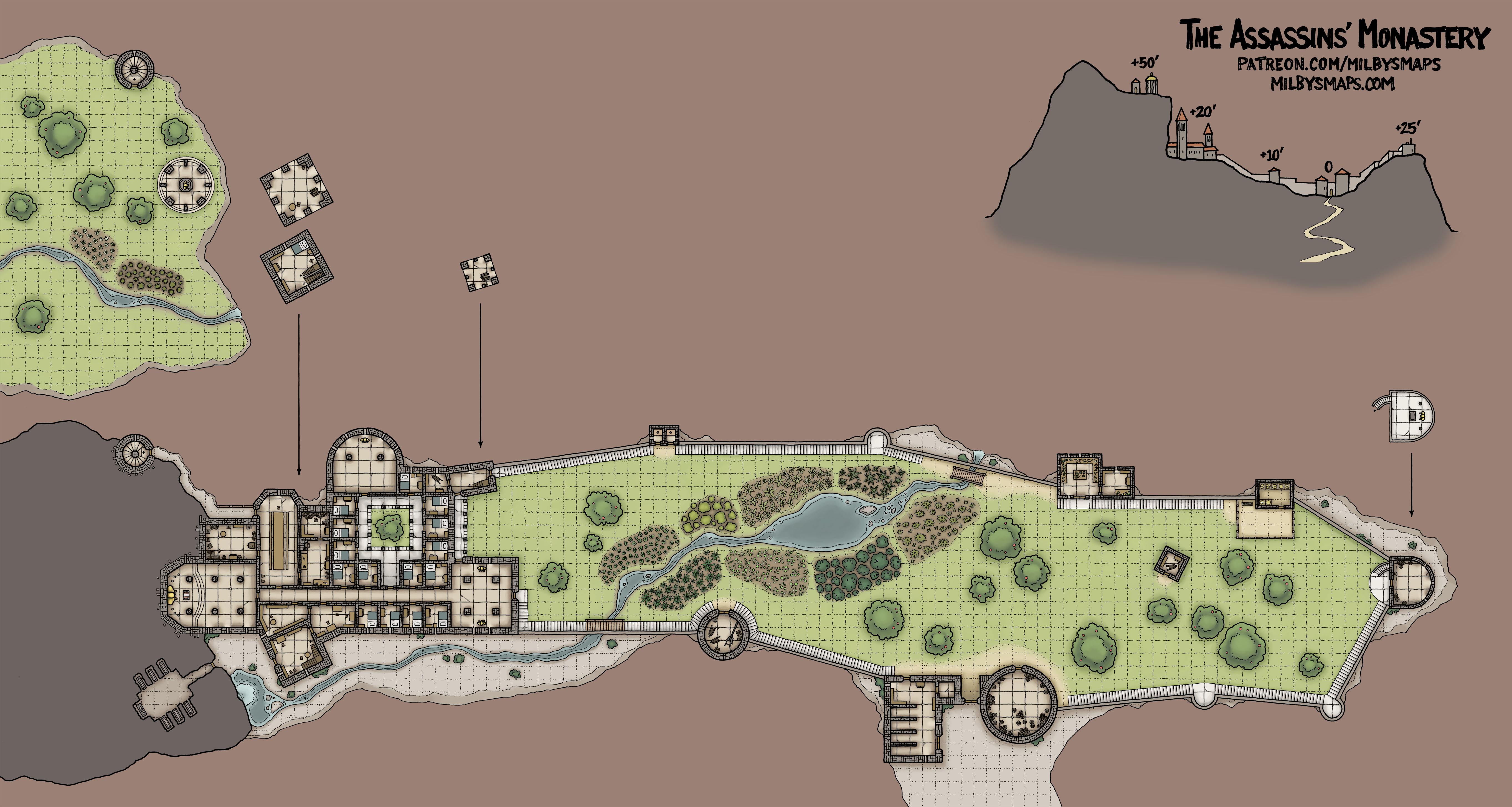
Now I just need to slap a roof on this baby and then I’ll be finishing up the town. My original plan for that was to draw three full floors of the town as they are in real life. There are a few buildings with fourth floors, but in the interest of keeping the map to a manageable size, I decided to just lop those off.

That’s still the plan, but I’m also going to partially abridge the third level. I can’t claim that I’m doing it to keep this thing from being too ludicrously huge because, well, I think we passed that point a long way back. Mainly I just don’t think drawing the third floor of every building adds that much to the map. A lot of what’s up there isn’t that interesting and, if this weren’t a map of a real place, I’d feel like a lot of the town’s 3rd level was filler. So I’ll pick and choose which buildings get a third floor and which ones don’t and hopefully it won’t be any less useful or interesting to anyone.

Mont-Saint-Michel – Work in Progress 6: The Abbey, 2nd Floor


The second level of the abbey is done and there’s some interesting stuff here. The room near the bottom-left with the four pillars is an ossuary. The big thing in the middle is called a “treadwheel” and it’s meant for hauling stuff up a ramp into the abbey. It’s turned by people walking inside it like big, hairless hamsters. Yeah, I know. Fun.

The big chamber near the center that looks like a hand giving the middle finger is the “Crypt of the Great Pillars.” The two small rooms with no doors above and below it are cisterns. This place actually has four. Religion is thirsty work.

The room the middle finger is pointing to is an ecclesiastical court. Then above that, past the gardens, is the Hall of Guests (“Salle des Hôtes”), a big chamber meant for hosting nobility and other distinguished guests. The other big chamber on the left is the scriptorium, where the monks worked to copy books.

I was thinking about drawing these last two rooms furnished, but I decided against it. My reasoning for it was that this map is for D&D purposes and, as a DM, if I’m having some kind of big encounter or battle, that’s probably where it’s going down. And because of that, I felt like I should leave the rooms flexible. No one wants to be tripping over a bunch of desks while they’re trying to stop the High Priest of Whatever from summoning the lord of darkness.

I’ll be back with the third and final floor of the abbey. Unfortunately, the winding-underground-tunnels portion of the adventure is over, but there’s still some interesting stuff left to explore.

Mont-Saint-Michel – Work in Progress 5: The Abbey


The  abbey of Mont-Saint-Michel is both amazing and complete madness. Every map I have of it (and I have a lot) disagrees with the rest about what rooms are on what floor.

The thing is, the floors here don’t just neatly stack on top of each other like most buildings. Imagine a house with five basements. Each one has a staircase leading down to it and each one goes to a different depth. One goes 10 feet down, another 15, another 20. Now imagine that the one that goes 15 feet down has two more staircases: one that goes up to the 10 foot basement and another that goes down to some other room 5 feet lower. Now imagine that, because this house is built on a steep rock, some of these basements lead outside. That’s what the abbey of Mont-Saint-Michel is like.

There’s some pretty interesting stuff down there, though. In the lower-left corner is a collapsed building that used to be a hotel. And just north of that, past the toilets, are the dungeons. Yes, this abbey has dungeons. God and the church maintain differing policies on the issue of forgiveness.

To the right of the dungeons is one of the oldest parts of the abbey, a church known as Our Lady of the Underground. You’ve also got the Crypts of Aquitaine, a disused cistern, a chapel undercroft and an old kitchen which may actually be a toilet (sources disagree).

I’m going to do the rest of the abbey next. I’ve finally managed to wrap my head around what goes where in this place and I don’t want to forget and have to figure it out again. I’ll be back with the second level, which has a bunch more underground tunnels, an ossuary, crypts and assorted other dead people storage facilities.

Mont-Saint-Michel – Work in Progress 4


Originally, I’d intended to post again once I’d finished the upper town, but I decided to push on and finish up the gardens as well. So this is the entire ground level of the town complete. Aside from two small buildings on the north side of the island, the only thing left is the abbey. It’s hard to say for certain, but I think this was the hard part. I really hope this was the hard part. This part was super hard.

One other thing I need to talk about is how long this will take and how I’m going to handle it. I estimated a month at the start, but it’s going to take another month at least. I could pause and work on a Cartographic Congress map or Brazenthrone, but I really don’t want to do that. I am very much in the zone right now, I’m getting a lot done and as long as the boiler is burning hot, I want to keep steaming ahead.

So, this is the plan: I’m going to push through and finish Mont-Saint-Michel. Afterwards, I’m going to knock out whatever Cartographic Congress maps are waiting to be drawn. Then, I’ll draw an equal number of Brazenthrone maps in a row, plus one.

I really hope everyone’s cool with me putting everything else on hold for this. I didn’t realize how much work Mont-Saint-Michel would be, but hopefully you’re liking it so far.

Mont-Saint-Michel – Work in Progress 2


I hope you all had good holidays! The Mont has grown a good bit lately. There’s more of the town and the walls finished to the east of the gates, along with the Tour de la Liberté (“Tower of Freedom”).

And below, there’s the barracks with its own barbican and the Tour des Fanils (This sort of means “Stephanie’s Tower.” I think. It’s complicated). In the northwest corner is the Tour Gabriel (“Gabriel’s Tower”), a huge artillery tower with a windmill and a lookout tower built on top of it. Yeah, I’m thinking it too. I heard you like towers.


One other thing I wanted to mention: the arrows at the top or bottom of staircases indicate which direction is up. Maybe that’s obvious, but I just wanted to make sure.

Okay, that’s it for now. I’m gonna draw more of the town next. I’ll be back to show you when I’ve got a few more pages done.

Mont-Saint-Michel – Work-In-Progress


Here’s Mont-Saint-Michel so far. First, I want to talk about what’s finished, then I’m going to talk about some of the unusual things I need to do to get this map done right.

So, this is the town at the base of the abbey. The exterior walls and doors are finished, along with other details around the area, like fences and stairs (which are EVERYWHERE). The only interiors I’ve done are the gatehouse and towers, which are things I’ve been able to find information on in some old French books.

In other words: this is everything (in the town) that I’m able to find concrete information on. Finishing this up shouldn’t take nearly as long for one simple reason: I can start making stuff up now. These buildings aren’t famous and won’t have floor plans publicly available. And besides, they’re not the same as they were in the past. Currently, aside from a number of houses, almost everything else is hotels, restaurants and gift shops, about half of which are called “La Mere Poulard” for some reason.

Okay, now let’s talk about this map’s special needs. This place has two issues that make mapping it complicated:

  1.  Nearly every building has two or three exterior doors on separate floors. This place is built on a very steep rock and a ton of buildings have one door in front on the ground level, a side door on the second floor, then a back door on the third floor.
  2. Elevation is important with this map and the elevation here is insanely complicated. Drawing elevation lines isn’t going to cut it.

So, here’s how I plan to deal with this: First, the ground level of the map will show the lowest level of every structure as well as the outdoors. All ground level doors will be drawn as normal, but doors on upper levels will be indicated by a gap in the wall fill with a number indicating which level the door is on. If someone enters the building through that door, switch to the level of the map shown by the number. Pretty simple.

The solution I’ve come up with for explaining the elevation is the brute-force option: I’m going to make a separate elevation reference map that DMs can refer to when questions come up. I’ll label all the ledges and roofs with their approximate height over the ground below. How high is this to climb? How far do I fall from here? Am I above or below that guy? Check the elevation map. It’s not an ideal solution, but unfortunately explaining the elevation here means writing all over the map, so I’ll make one version with it and one without.

In other news, I’m learning a lot of French while doing the research for this. Not useful French, but I now know words like “pont-levis” (drawbridge), “poterne” (postern) and “bastillon” (bastion). Yay.

Okay, I’m going to get back to work.

Saint’s Rock – A fortified cathedral inspired by Ireland’s Rock of Cashel


, the inspiration for Saint’s Rock. Before it was a cathedral, it was the castle of Brian Boru, High King of Ireland. Fun fact: Brian Boru is the reason there’s a harp on your Guinness can. He’s also the reason that there are pictures of harps all over everything in Ireland despite the fact that no one plays it or has any interest whatsoever in harps or harp music.

Anyway, Brian Boru’s great-grandson gave the castle to the church, who rebuilt it into a cathedral. While the castle was dismantled, the gates and curtain wall were left in place, which, combined with the Rock’s location on a steep hilltop, made it a very well-protected church.

There are a few differences between Saint’s Rock and the Rock of Cashel, the biggest of which was the removal of a secondary chapel building and the addition of the cloisters. The passages through the walls are actually real. This photo shows what the second floor passages look like from the ground (you can see them at the bottom of the windows).

So, with this done, Brazenthrone‘s Noble Quarter is next. It’s the second-largest chamber of Brazenthrone and it’s going to take a minute. I’ll get you some work-in-progress photos along the way. Sound good? All right.

There’s an annotated version of this map and DM notes available to patrons.

Brazenthrone – The Grand Temple

Brazenthrone‘s Grand Temple is a religious complex dedicated to all the gods of the dwarven pantheon. I use Forgotten Realms deities for Brazenthrone, so the big golden gentleman in the middle would be Moradin the All-Father, surrounded by the other 13 gods of the Morndinsamman. The four larger statues are Berronar Truesilver, goddess of hearth and home (and wife of Moradin); Clangeddin Silverbeard, god of battle; Sharindlar, goddess of love and healing; and Dumathoin, god of mining and gems.

I said I’d be doing one of the larger maps chosen in the Great Vote next and I’ve decided on the small, but densely-populated merchants’ trade port island. In the vote, it was in the large category, but I’d say it’ll end up being what I’d normally class as a “huge” map (actually, I’d say it’ll be pretty massive). Also, as I said before, I’m looking to tackle Brazenthrone’s Anvil Quarter and Noble Quarter soon and one of those will probably come after that.

Here’s a version of this map without all the numbers and words on it. There’s DM notes, higher-res versions with even less words on them and VTT versions available to patrons, should you be interested.

The Assassins’ Monastery

If you like this map, but you’d prefer to hide the secret rooms from your players, here’s a version without them. That’s also the version for people who’d prefer this monastery to be occupied by honest, wholesome monks who actually spend their days thinking about god, growing herbs and killing as few people as possible. Also: boring. Just kidding, do your thing.

In case you missed the last post, this place was inspired by Rudkhan Castle in Iran, which was actually controlled by the historical assassins at one point. I think this place could be used for plenty of other things, though. Maybe they’re cultists. Or vampires. Or werewolves, or bandits, or… bandits who are also werewolves. You get the idea. Anyone who wants to hide in plain sight.

I said I was going to do a residential part of Brazenthrone next, but I changed my mind. I’m doing the Grand Temple instead. After that, I’m doing one of the bigger maps chosen in the Great Vote. Then, I’m not sure, but I can tell you this: I want to make a push to get Brazenthrone’s Anvil Quarter and Noble Quarter finished. That gets the core of the city done, along with entrances from the surface and the underdark, and puts the whole thing in a much more usable state. I think I can get those both finished within the next two months or so. All right, I’m going to get to work on that temple.

As always, there is patron stuff for patrons.