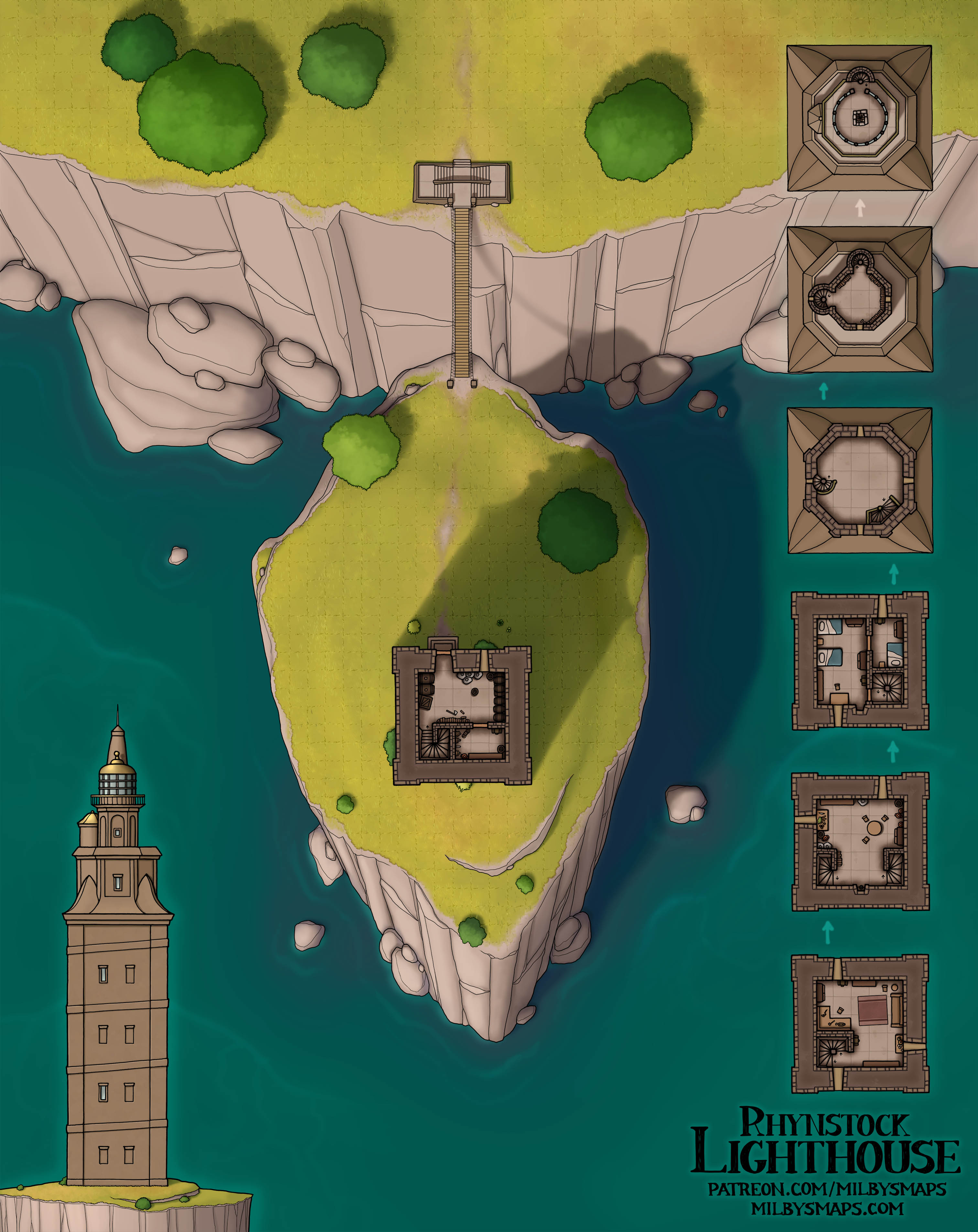
Rhynstock Lighthouse

Those of you from Spain might be thinking this place looks familiar and, yes, this is the Torre de Hércules (Tower of Hercules). Except it isn’t. The Tower of Hercules is an amazingly unique lighthouse, but it has one big problem, which is that it’s a terrible D&D map. The interior is just a staircase. So this is the Tower of Hercules on the outside, but not on the inside.

I was a little conflicted about whether to title this the Tower of Hercules or not, but I decided against it. My longstanding policy is that I only give a map the title of a real place if it’s a reasonably accurate depiction of that place. If I’m using a real place for inspiration, but still getting creative with it, I give it a different name. Still, I try to be as open as possible about my inspiration when I take it from real life. I don’t want to get accused of taking credit for designing any famous landmarks.

Next, I’ll be drawing a great, demonic tower driven into the ground like a giant nail, with only the top floor sticking out. After that, it’s back to drawing more of the Vatican. You know, there’s a nice holy/unholy mix here at Milby’s Maps lately. Widely varying levels of holiness available. I hope everyone’s enjoying that.

Anyway, I’m gonna get started on that demon map. Hope you like the kinda-sorta Tower of Hercules!

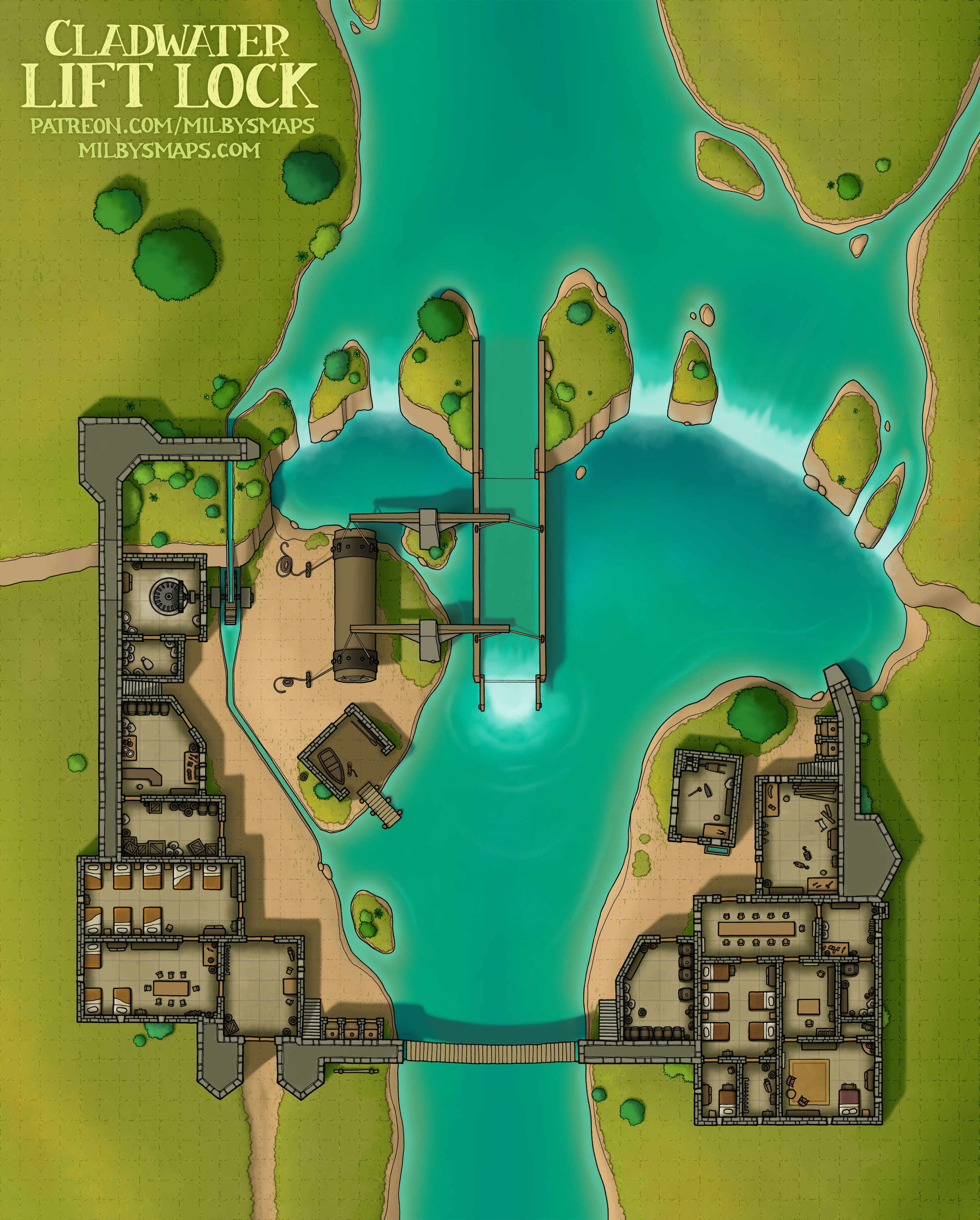
Cladwater Lift Lock: The Ramparts

Here’s the upper level of Cladwater Lift Lock, as promised. And for patrons, I made a night version as well.

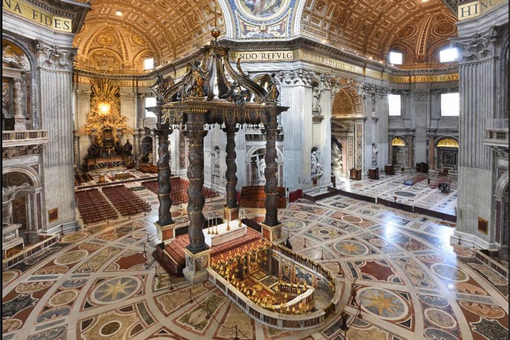
With that done, I’ll be getting back to the Vatican City megaproject, where I’ll be drawing St. Peter’s Basilica. Because the place is gargantuan and the floor is extremely elaborate, I’m not sure how long it’ll take, but I’ll post some work-in-progress pics along the way to show you how it’s going.

The basilica is an incredible work of art and I’m going to try to capture as much of that as I can in the map. But, ultimately, there’s only so much I can do. I’m going to show you two photos. Okay? This is Notre Dame in Paris. A world-famous masterpiece of architecture, no question. And this is St. Peter’s Basilica. I mean, like… that’s just bananas. My point is that I’ll do what I can, but I can only do so much in the face of that.

All right, I’m going in. Wish me luck.

Cladwater Lift Lock

So the idea for this map is that it’s an outpost with a lock that lets riverboats cross a waterfall. If you’ve never seen one, boat elevators are a real thing. Here’s a Canadian one. And here’s Scotland’s super deluxe fancy one. I’m not sure if there are any that go over waterfalls, but it seems possible.

These things don’t go too far back in history, but Germany had one in 1789, so you should be able to get away with it in a fantasy setting. If you need an excuse, the phrase “dwarven engineering” has been letting DMs get away with putting sci-fi stuff in the middle ages for years. There’s a little pro tip for you.

As you may have noticed, this place does have stairs and there is an upper level to draw. It’s nothing fancy, just some ramparts, but I’ll draw that next. It should only take a day, two at most. After that, we’re back to Vatican City, where I’ll be getting started on St. Peter’s Basilica and its perfectly reasonable floor.

All right, I’ll be back with that soon! If you’ve got any questions or thoughts about the map, let me know.

Lyndorne Falls

In the seven years that I’ve been making maps for a living, I’ve drawn exactly six city maps. When I say a “city map,” I mean not a battlemap. So stuff like Vayl’s Firth doesn’t count. Here’s the list, from oldest to newest, along with my opinions on them:

  1. Irredeemable garbage
  2. Crap, but crap with a few merits. The lore may have saved it.
  3. Somehow, I think this is worse than the previous one.
  4. This one might have been okay if I hadn’t decided to color the buildings pink for some reason.
  5. This map is what Rogue One is to Star Wars sequels. Not incredible, but much better than all the other garbage.
  6. This map. I think it might be kind of good. I don’t know how or why this happened.

The basic idea for this place is that Lyndorne Falls is a unique kind of trade city. Goods come in on riverboats at the top of the waterfall and they’re moved down to the bottom on cargo lifts, where they get sold on to seafaring traders. Enabling goods from upriver to reach the sea makes this place a big deal, especially if there are a lot of towns out there. Also, the cliffs and the surrounding jungle serve as natural walls to protect the city. On the whole, I’d say it’s a fairly unique town that wouldn’t be hard to find a place for in most settings.

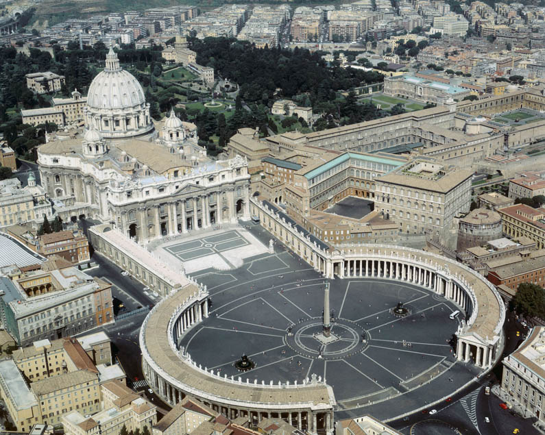
Next, I’m gonna get started on the Vatican megaproject. I’ll be drawing this one piece at a time and I’ll alternate between Vatican maps and other maps, but I’ll start with the famous stuff. First, I’ll be drawing St. Peter’s Square, which looks like this. It’s not the most interesting part of Vatican City, but it is the biggest and it should help me to calibrate the size properly so that all the pieces fit together in the end.

All right, I’m gonna go transubstantiate some paper into a map. Our journey begins.

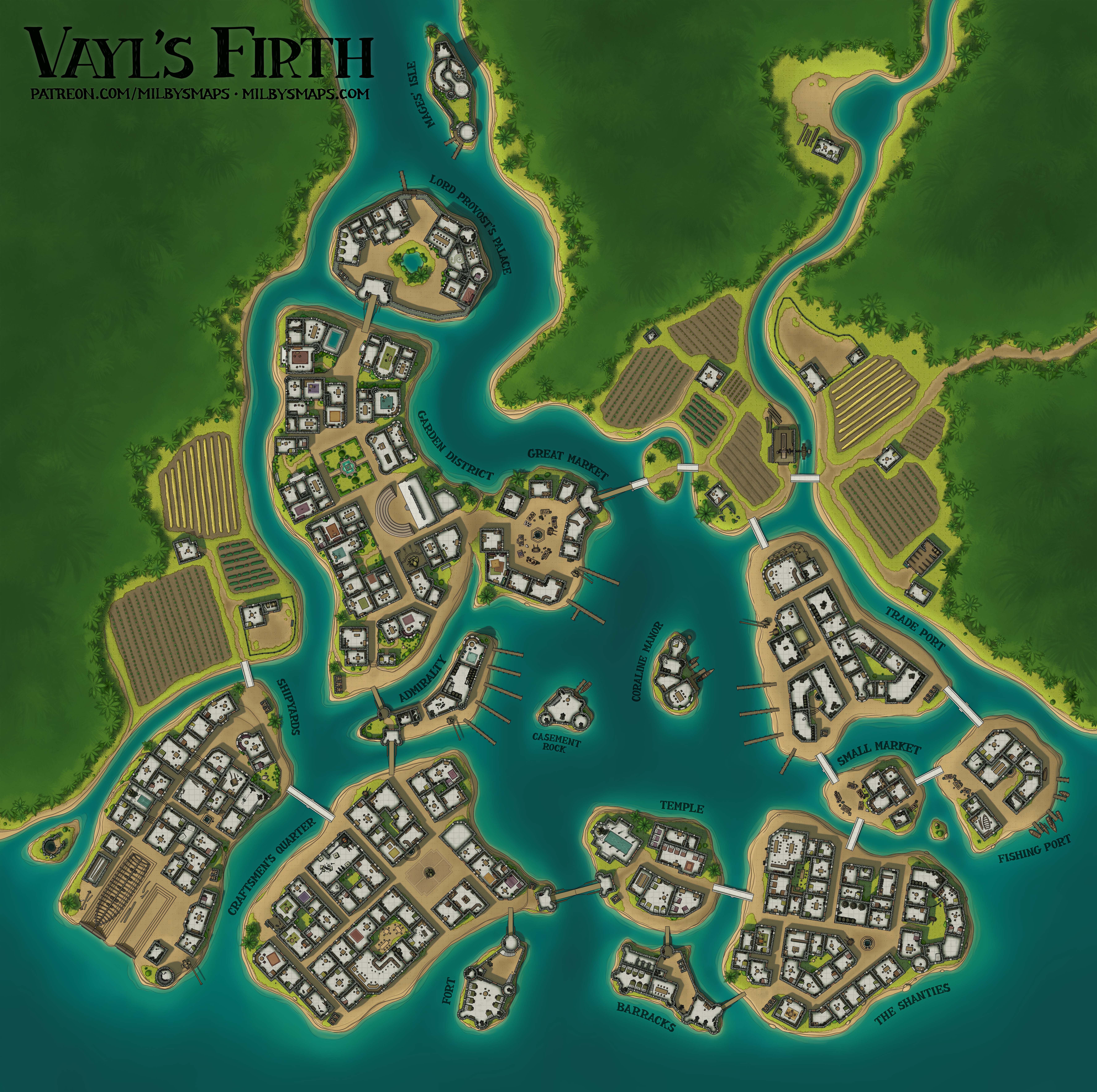
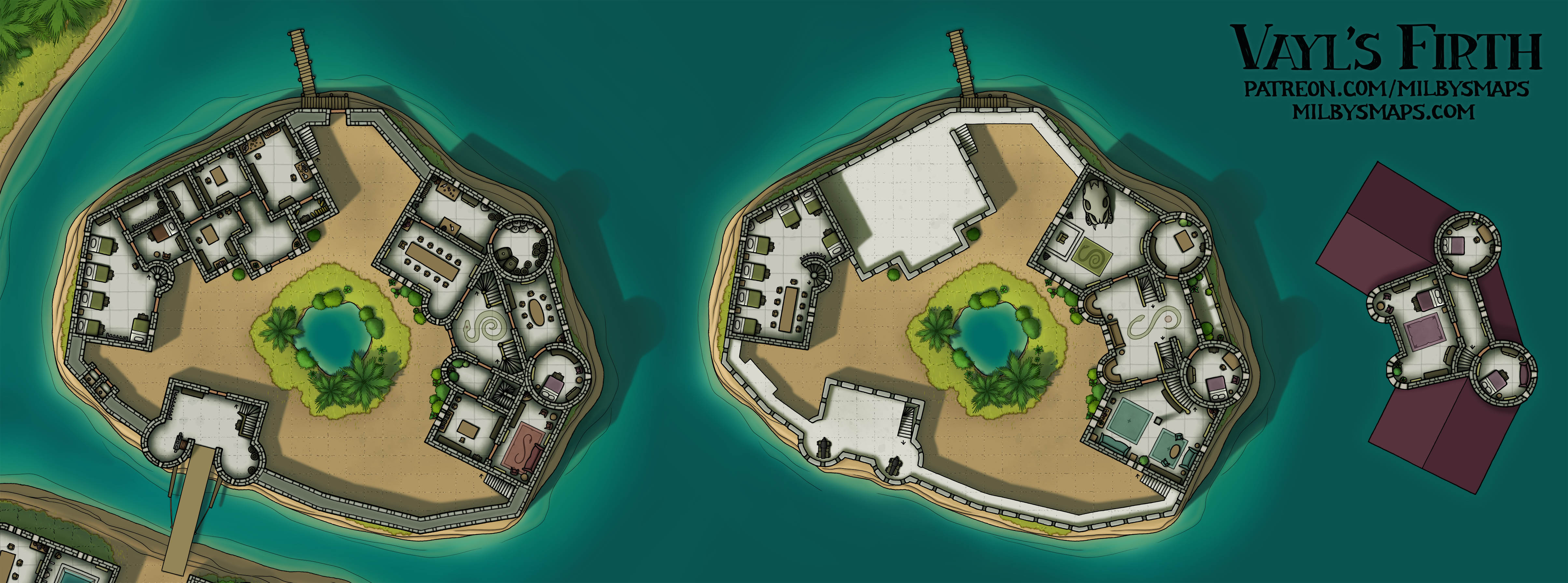
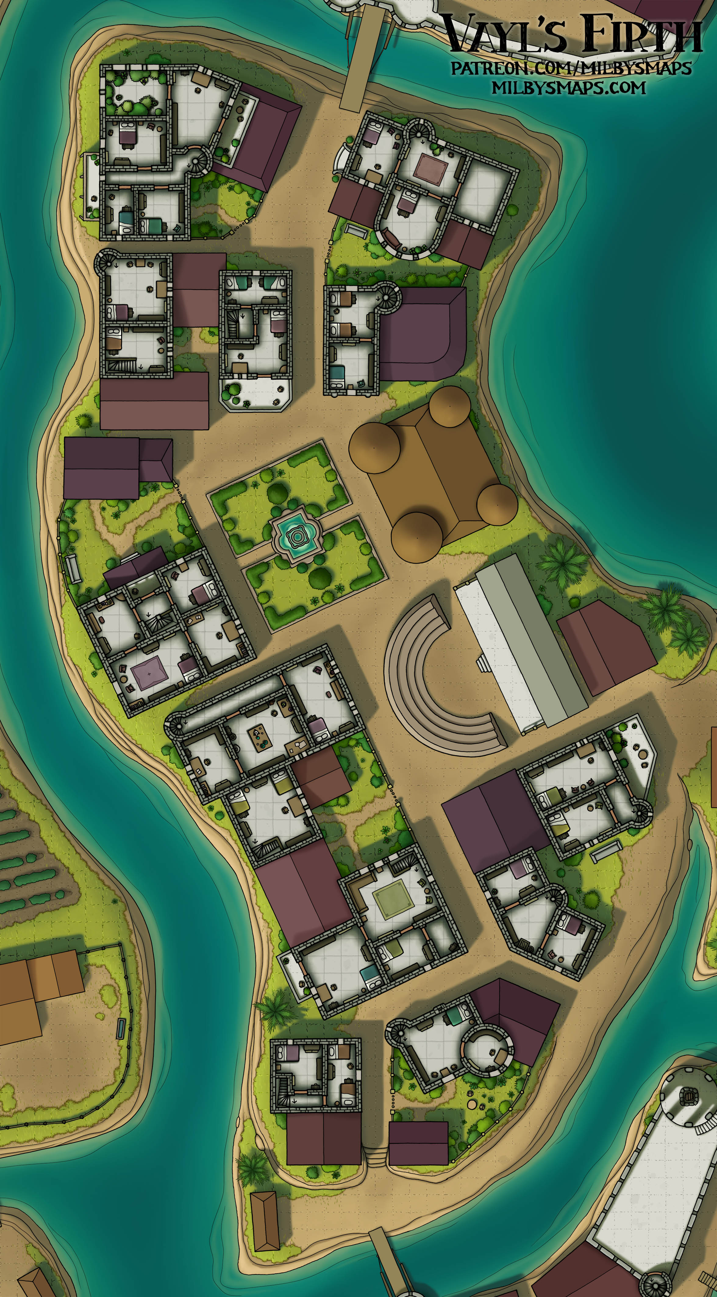
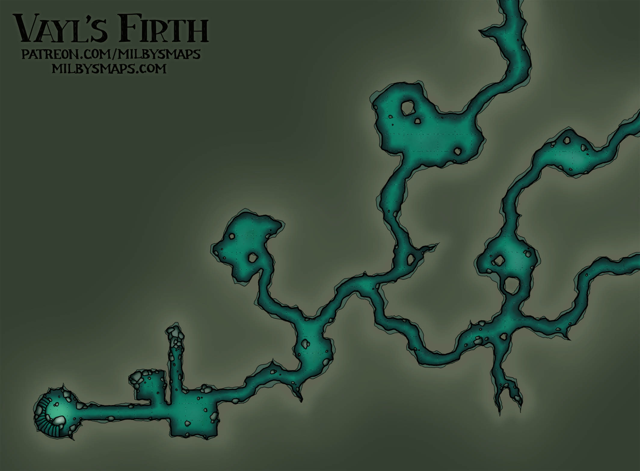
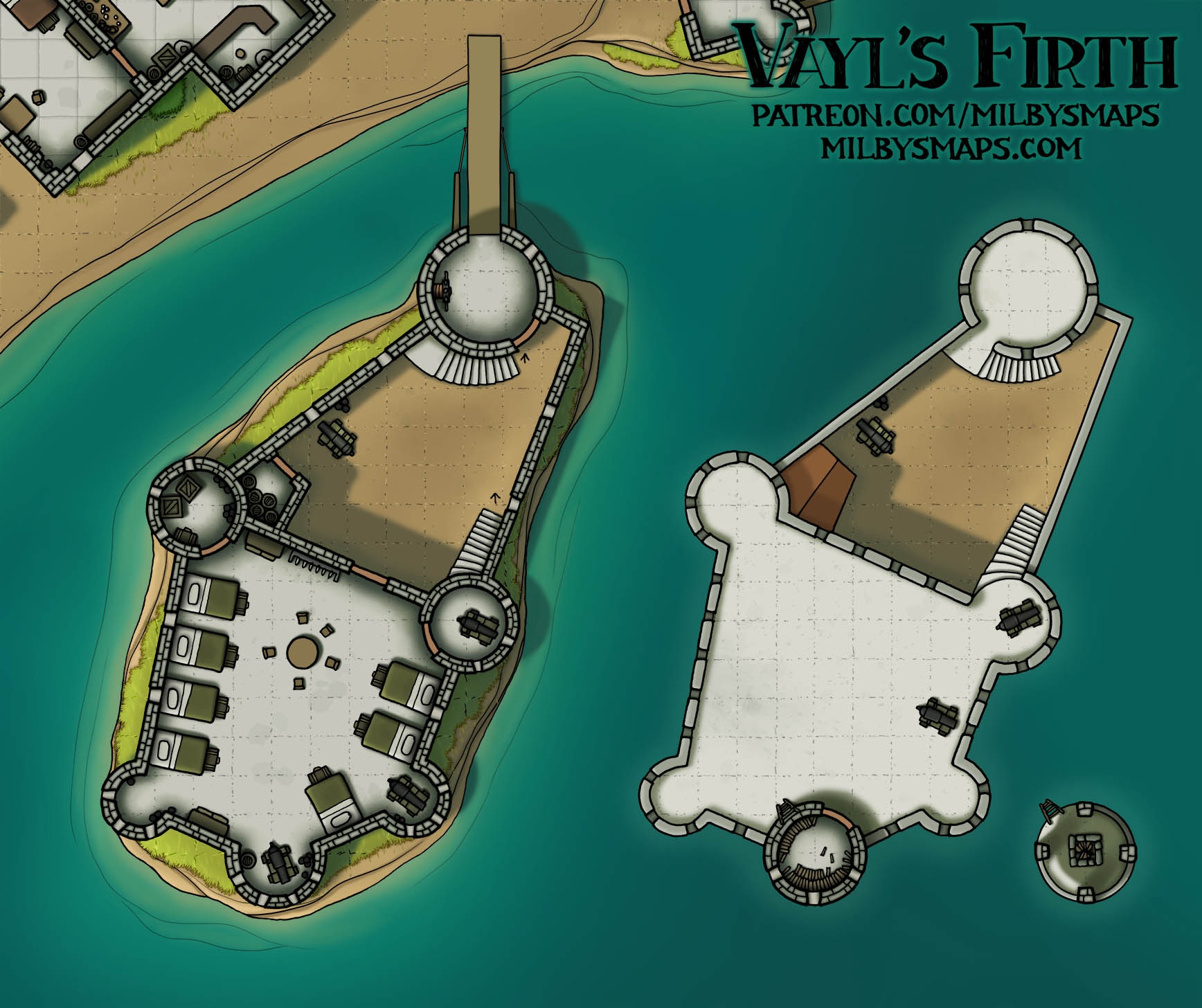
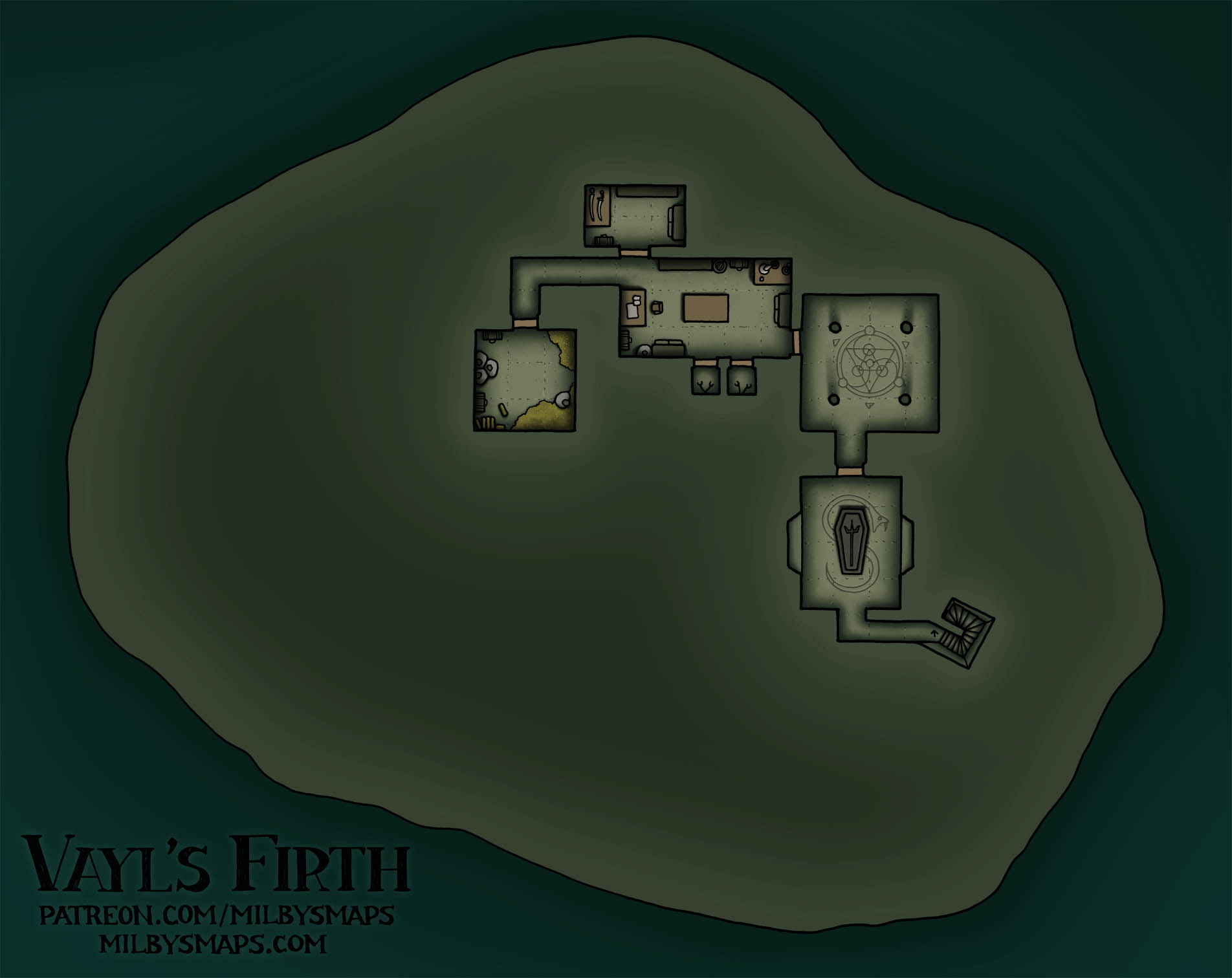
I’m back! Vayl’s Firth is Finished!


You can download all these maps here.

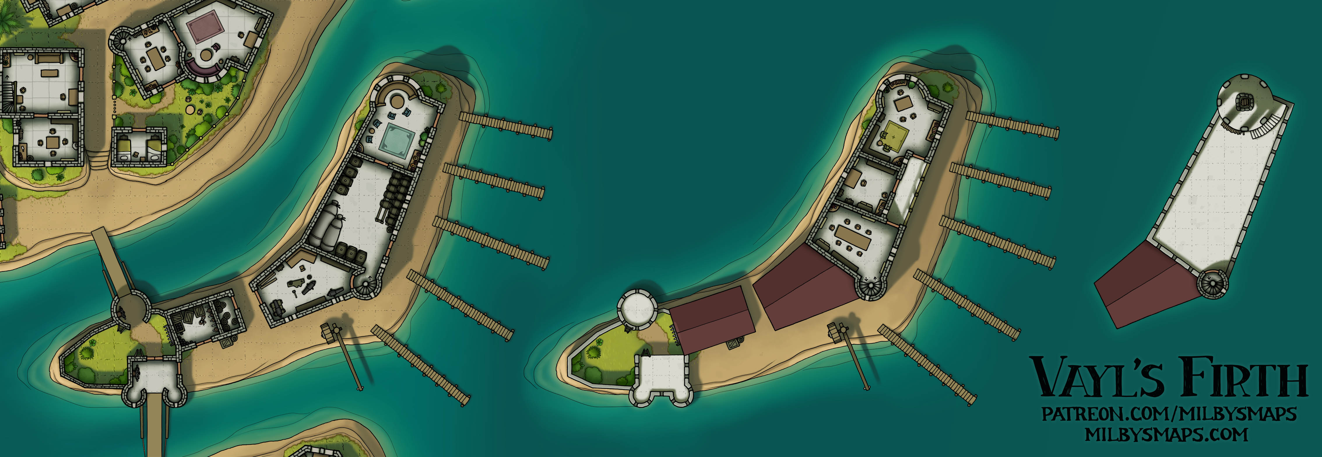
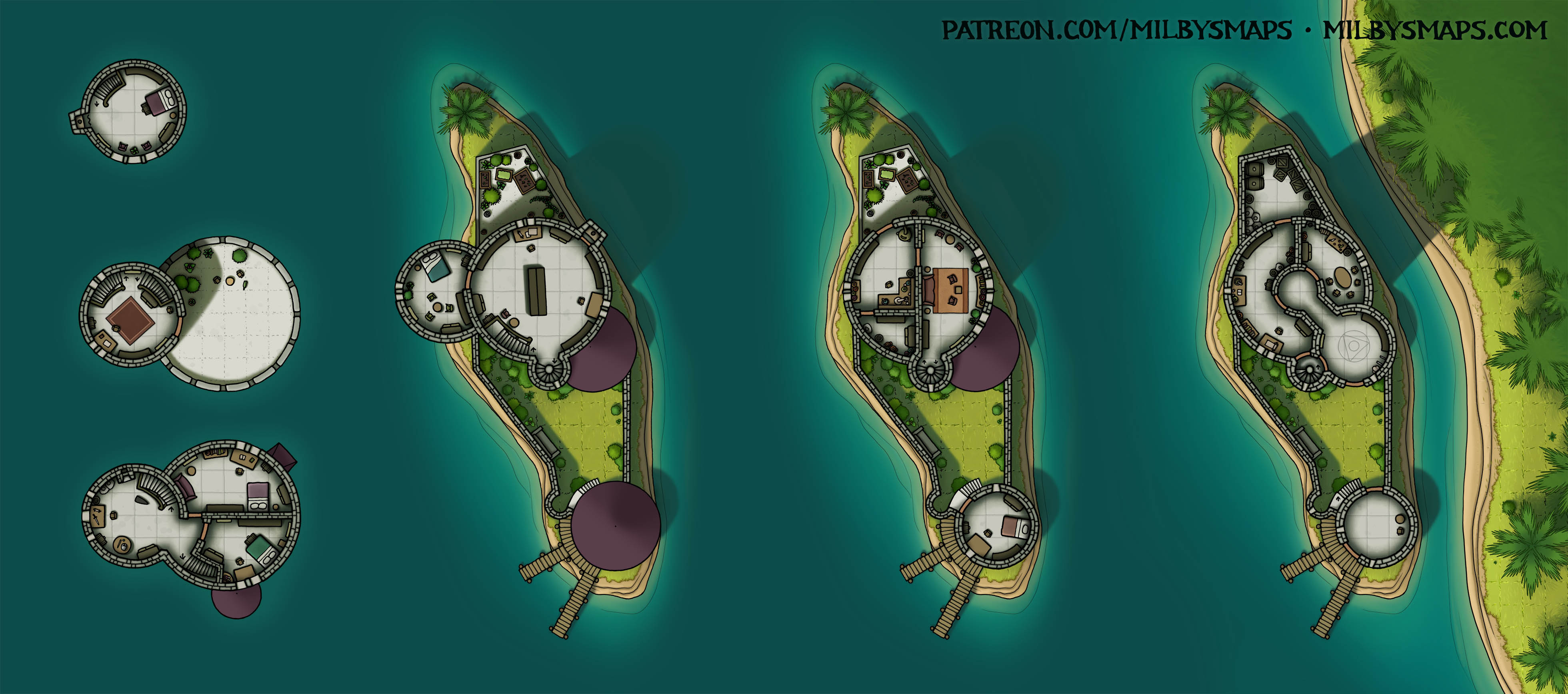
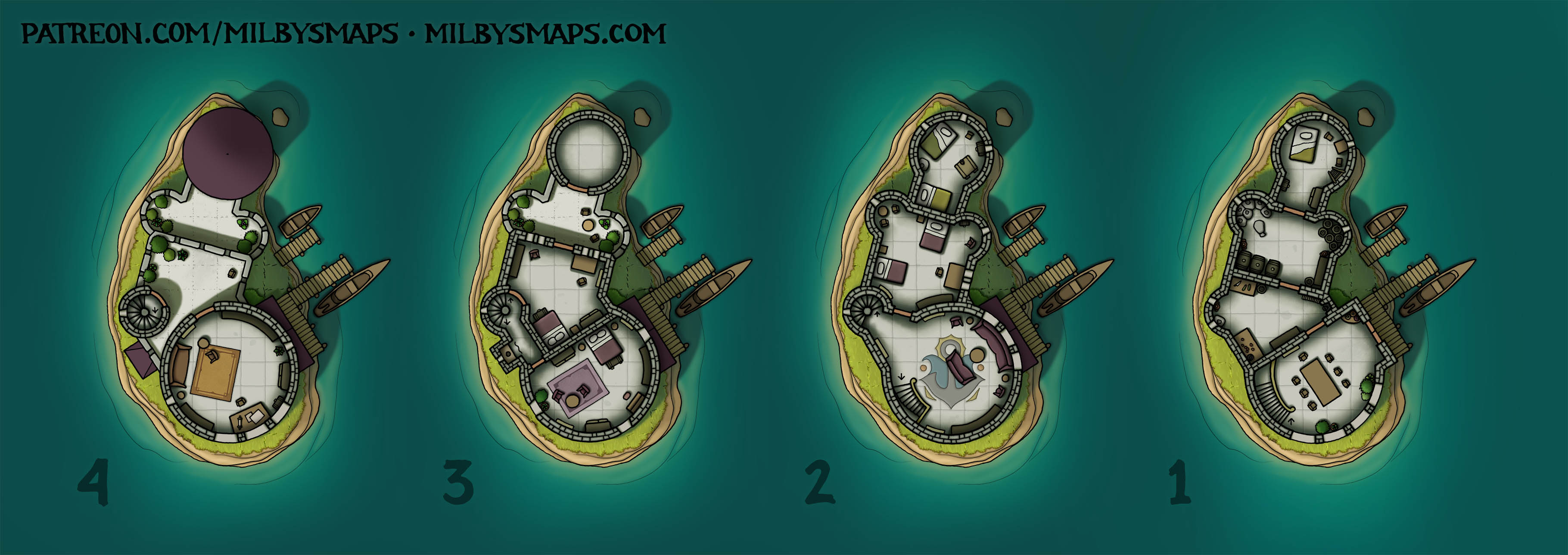
It’s been over a month since I posted for non-patrons, but, as promised, here’s the complete city map and the upper levels.

If you want to become a patron, there are individual maps of all the islands, plus unfurnished versions, annotated maps, DM notes, a Foundry module and various other stuff. There’s a lot. It took me three hours to upload all the patrons’ edition maps. Admittedly, I’m on a trash-tier internet connection at the moment, but still.

For anyone who can’t afford that, every part of the map is here for you to use and I hope you enjoy it.

With Vayl’s Firth finished, I’m going to get caught up on all the Cartographic Congress maps that have been chosen since I started drawing this. And then, at some point, I’ll get to work on the next megaproject: The Vatican.

Well, that’s about it. So, what do you think of Vayl’s Firth? I hope it lived up to your expectations. In any case, let me know what you think!

Vayl’s Firth – The Trade Port, Fishing Port and Small Market

Here’s are the first three islands of Vayl’s Firth finished. I’ll have another three up in a few days. Since the map is already about half-colored, they should be coming at a pretty good pace. Most of these smaller sections of the map will be for patrons, but I WILL post the full-size map for everyone once it’s finished.

Next, I’ll be drawing the three islands below these: the poor district, the barracks and the temple. After that, I’ll probably just work my way around the map, finishing each section in turn.

I know I’ve gone over my estimated 2 months to finish this project, but it’s officially delivering maps now and it’ll keep doing so every few days until everything is done. Despite going into overtime, I hope you consider it time well spent.

Well, I’ve got some chairs and crates to color, so I’d better get back to work. If you’ve got any thoughts or questions about the map, by all means let me know!

Alverfjord

So, I mainly see Alverfjord as three things potentially:

  1. A village where a land-dwelling race lives alongside an aquatic race (such as sea elves, tritons, merfolk, etc). This was the original idea.
  2. A village whose residents are covertly controlled by someone living below. This could be an aboleth, a group of illithids or a coven of sea hags.
  3. A village whose residents are secretly up to some shady stuff, which they do in the tunnels below. Maybe this is a cult or some kind of criminal activity, like smuggling, fencing pirate loot or running ye olde meth lab.

For patrons, I’ll be making a low-tide version of this map, which should be up tomorrow. Most of the underground level is dry in that version and I suspect it’ll be better for people who want to use this for option #3 above.

Also, thanks to everyone for the feedback about the Vatican megaproject! The response was overwhelmingly positive, so I will be drawing that later this year. First, however, I’ll be drawing the river delta city project, which I should be able to start on in the next few months. I want to get a few maps drawn first, but I don’t think they’ll take too long. One of those is a spelljammer and I’ll be holding a vote among patrons to find out what kind of vessel you’d like to see. I haven’t drawn one in a while and it’s probably time.

Anyway, I think that’s it for now. I’ll be back with the low tide version for patrons tomorrow. Let me know what you think of the map!

Dhelduhr – The Entrance

Here’s the entrance to yesterday’s map of the village of Dhelduhr. For patrons, there’s also an underdark version of the village. It isn’t wildly different from the original, but it’ll spare you from having to make excuses for the plants.

With that finished, I’m ready to get started on the last three levels of the Stygian City. These will include a prison, a temple with a jumping-off point and, at the bottom, Ghanya. If you’re not that into my Ghanya lore, I’ll be drawing four alternate bottom levels for patrons, so you can tell a different story here if you like.

Before that’s done, I’m also going to make a post about my idea for the next megaproject I have in mind. I know I said that a few weeks ago, but I made a note to remind myself and I’m actually going to do it this time.

Anyway, that’s it for now. Let me know what you think of Dhelduhr!

The Village of Dhelduhr

Dhelduhr is a dwarven village carved into the cliffsides of a canyon. This is most of it, but I still need to draw the entrance. In the center-right of the map, there are some stairs up to the clifftop, where there’ll be a small building with some stables.

I also want to make an underdark version of the map for patrons. This place would fit pretty well in that setting, but I need to get rid of the plants and the colors are a little bright. I’ll have all that done in a day or two, then I’ll get to work on the last three levels of the Stygian City.

Okay, see you tomorrow!

Scaligero Castle – Sirmione, Italy

So, there are eight buildings called Scaligero Castle in Italy. They were built by the Scaliger family, who ruled over Verona and were not very creative at naming castles. I mean, being fond of your own last name is fine, but maybe mix it up a little.

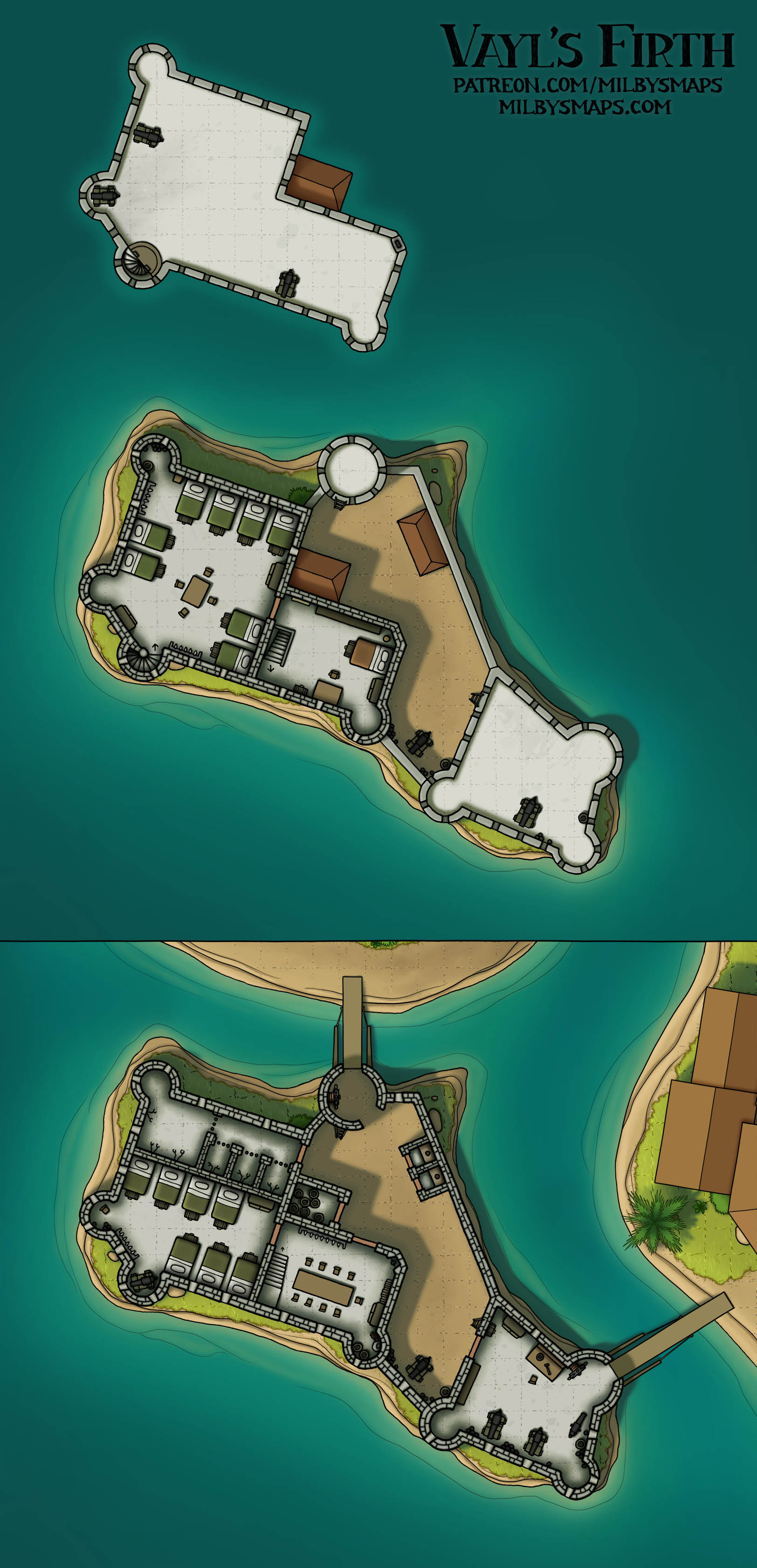
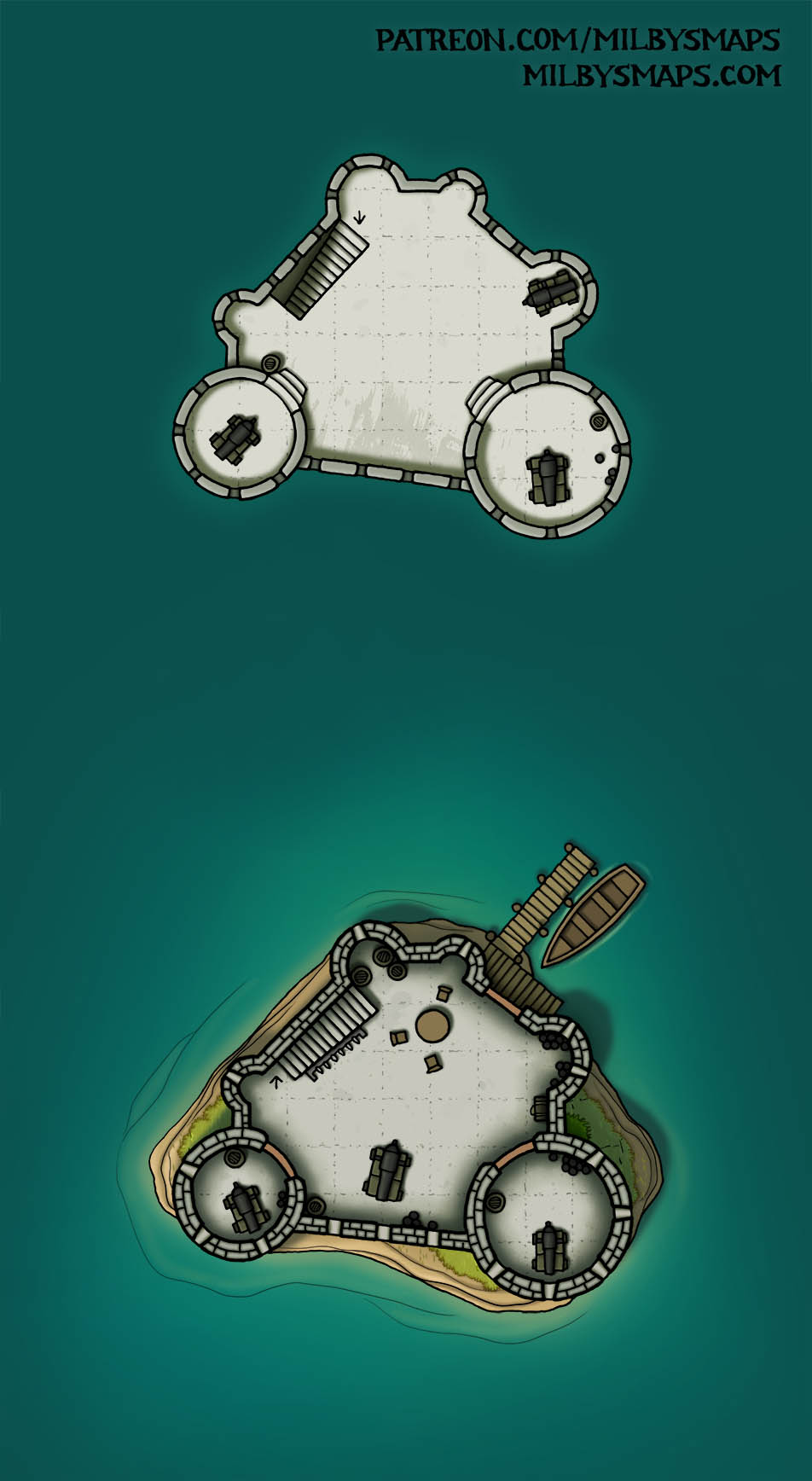
This is the Scaligero Castle in Sirmione, which has a very unusual feature: a fortified port. The port once held a fleet which the Scaligers used to control Lake Garda and its waterways. It’s mostly a fortification rather than a noble residence, so it’s fairly utilitarian in design, with most of the castle being defensive structures. The only two buildings inside are a barracks and a tower.

If you’re looking for a way to use this map in your game, allow me to suggest pirates. That’s what I’d use it for and something tells me I’m not alone there.

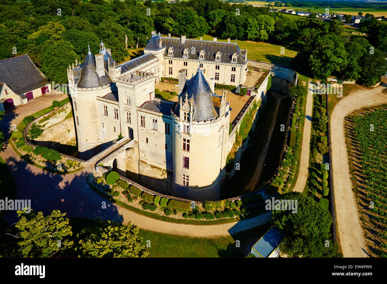
Next, I’ll be drawing a map I’ve been looking forward to making for a while now: the Château de Brézé. This is a French castle that looks like it was made for RPGs. There isn’t one photo that can explain this place, so let me walk you through it:

  • This is the Château from above. Note the dry moat surrounding it.
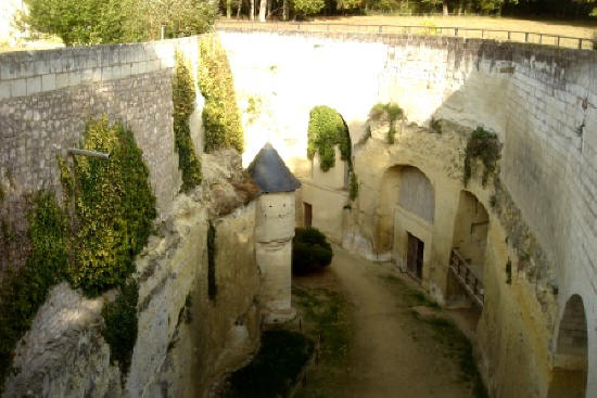
  • At the bottom of the dry moat, the walls of the moat are lined with tunnels and caverns. Here’s a photo of these. Here’s another.
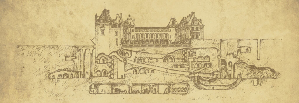
  • Some of these lead to very long tunnels. A lot of them are interconnected. And a lot of them predate the castle, having been dug as an underground settlement in the 1100s.
  • So, to recap: people dug tunnels, creating an underground settlement. 400 years later, someone built a castle over that settlement. Then, they dug more tunnels. This place is unbelievably fascinating.

So, that’s the place I’m going to draw for you. I’ve been wanting to draw the Château de Brézé for years and it is time. Wish me luck.