

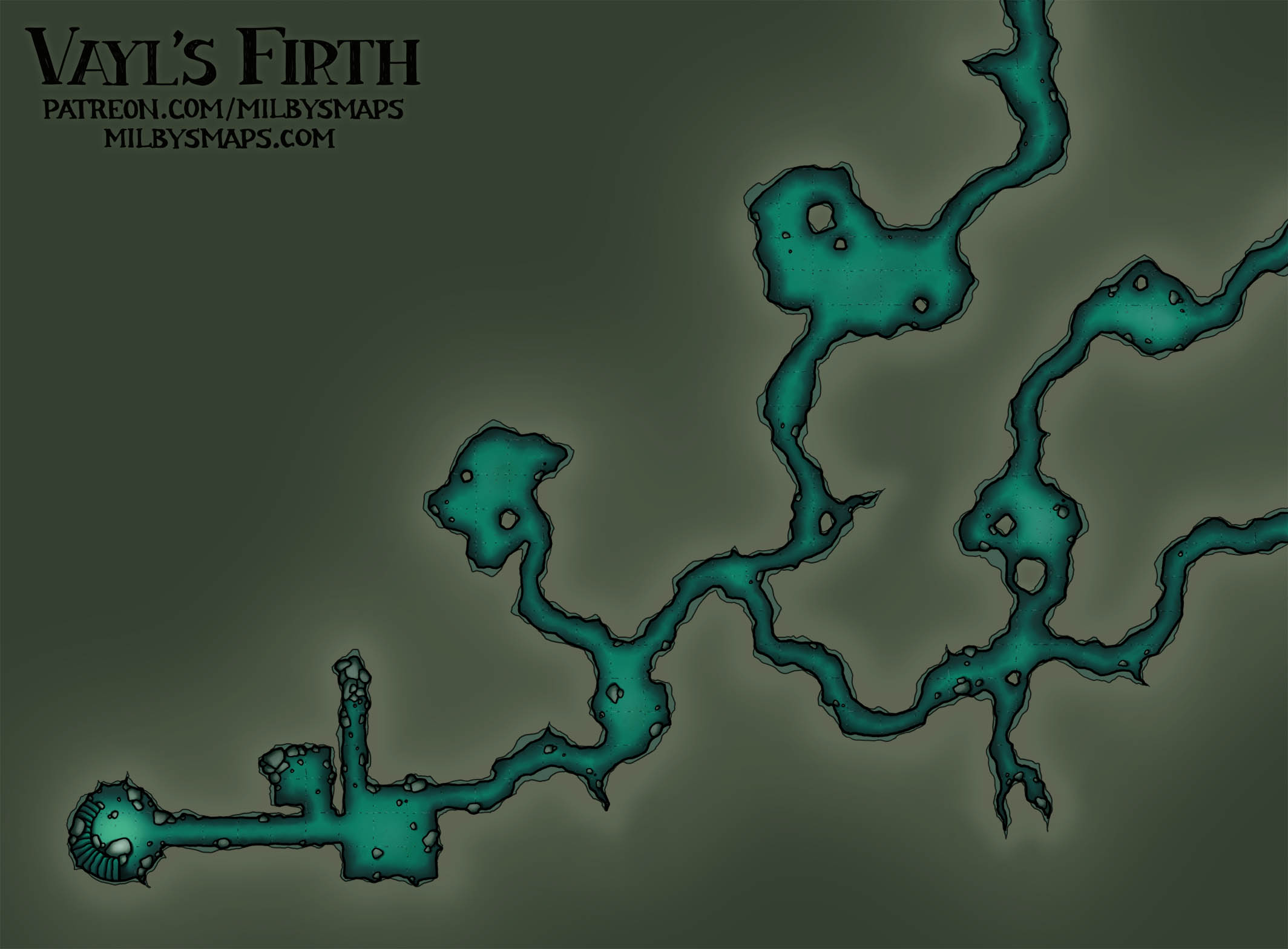
Well, this place turned out a bit bigger than I expected, but I think it was worth the effort. I’ll be drawing a map of the underworks next, which won’t be nearly as elaborate as this level, but will have some interesting stuff going on. It’ll also give this place an entrance.
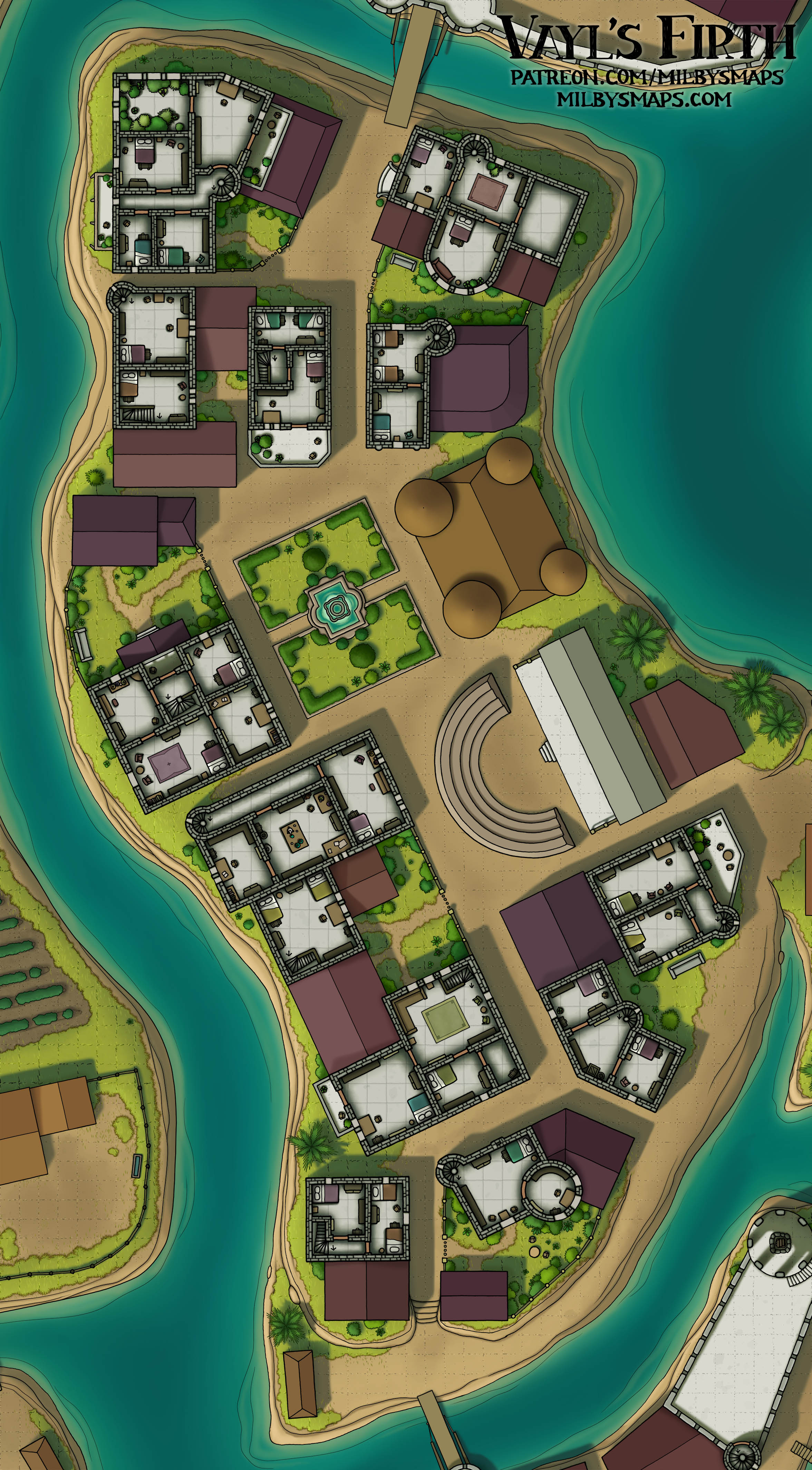
As you can see, some of the amphitheater’s tiered seating still exists, making it clear what this place used to be, although most of it has been leveled off and built over. The walls of the ancient city that this was once a part of are scattered around nearby and were probably picked apart to build the town.
As I said, I’ll be drawing the lower level of Circensis next (and I’ll have DM notes for patrons with that). Then, it’s back to the Vatican. Anyway, this town-built-on-an-amphitheater seemed like a popular idea, so I wanted to ask how you think I did with it. Let me know what you think!


