
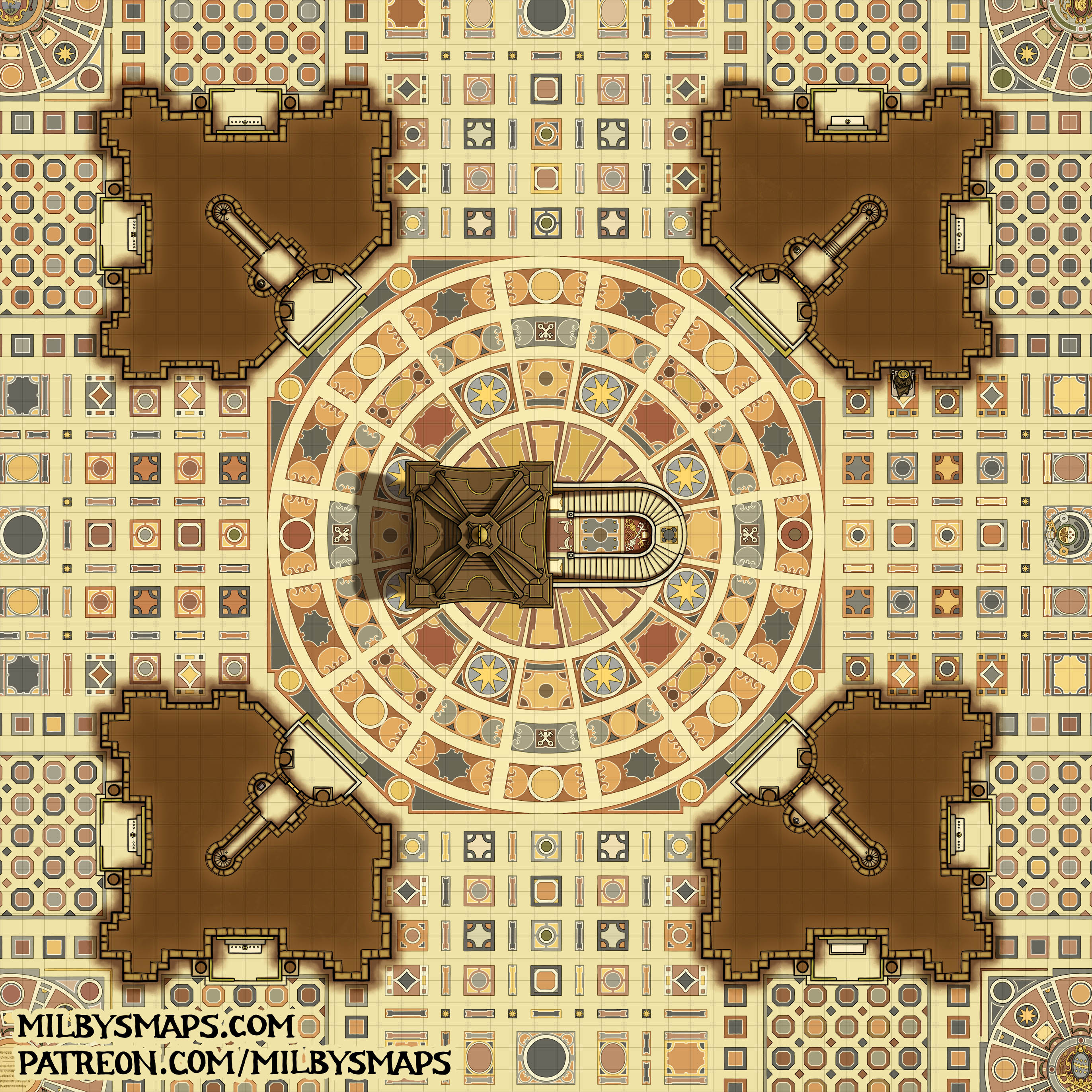
This is the last part of St. Peter’s Basilica, which means all that’s left to draw is… *checks notes* everything else in Vatican City. Not a problem.
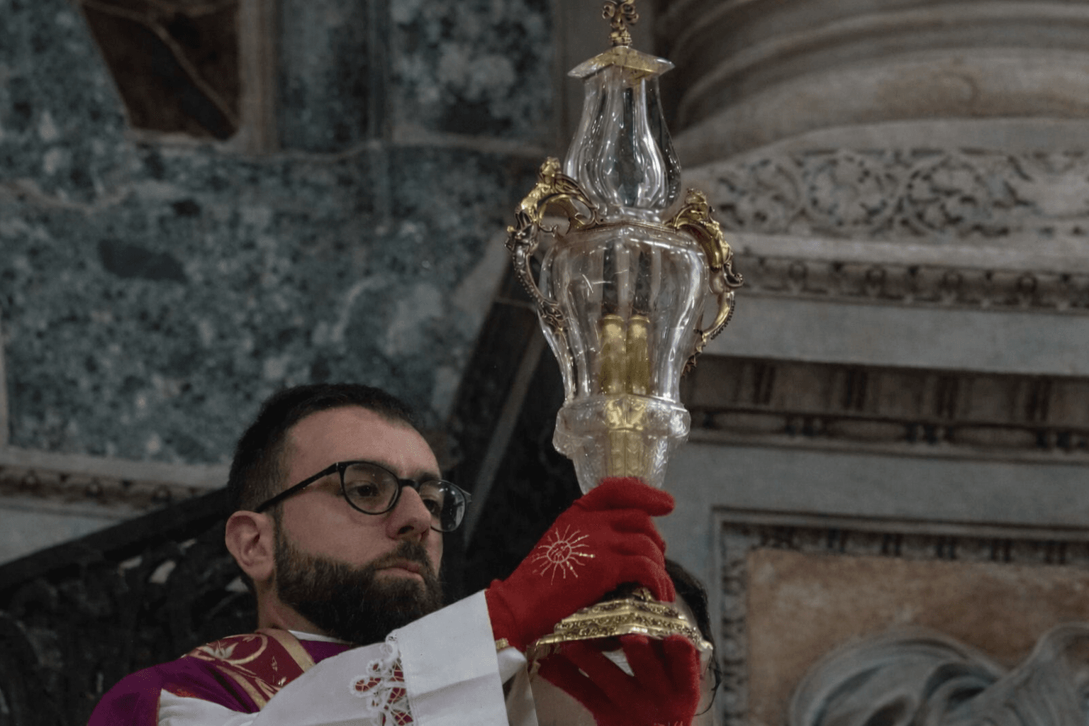
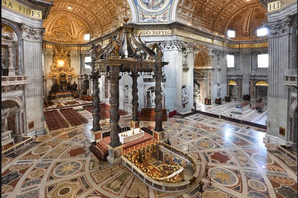
These small rooms were built into the large columns around the basilica’s main dome, each with it’s own balcony. Here’s a photo. Each one contains a notable relic: the True Cross, the Spear of Longinus (aka the Spear of Destiny), St. Veronica’s Veil, and the Head of St. Andrew. Here’s a picture of the spear, which is kept in a crystal vase. And here’s a picture of the Head of St. Andrew, which is kept in a container that I think we can all agree is very head-shaped and very normal.
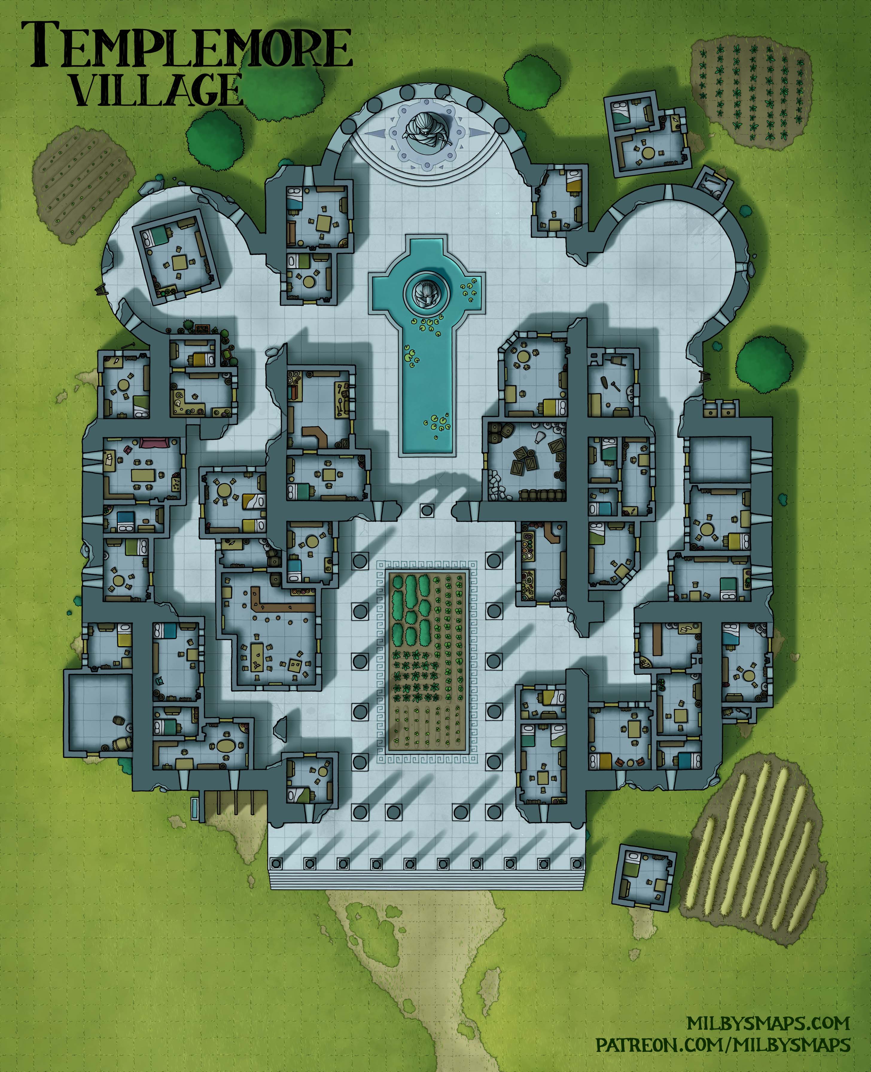
The next map of the Vatican will be the sacristy, since it’s adjacent to the basilica, but first, I’ll be drawing the map chosen by last month’s Cartographic Congress: a village built inside the ruins of a huge amphitheater similar to the Colosseum. I’m thinking of circular tiers of houses around the sides, a market in the center, Maybe some sewers, cisterns and shady stuff in the underworks.
I’m pretty into this idea and I expect it to be a fairly large map. Not quite a megaproject, but a lot bigger than Templemore Village, which was a similar sort of idea. Anyway, if you’ve got any suggestions or interesting ideas about it, by all means let me know. I’ll be back once I’ve got something to show you. Until then!


