

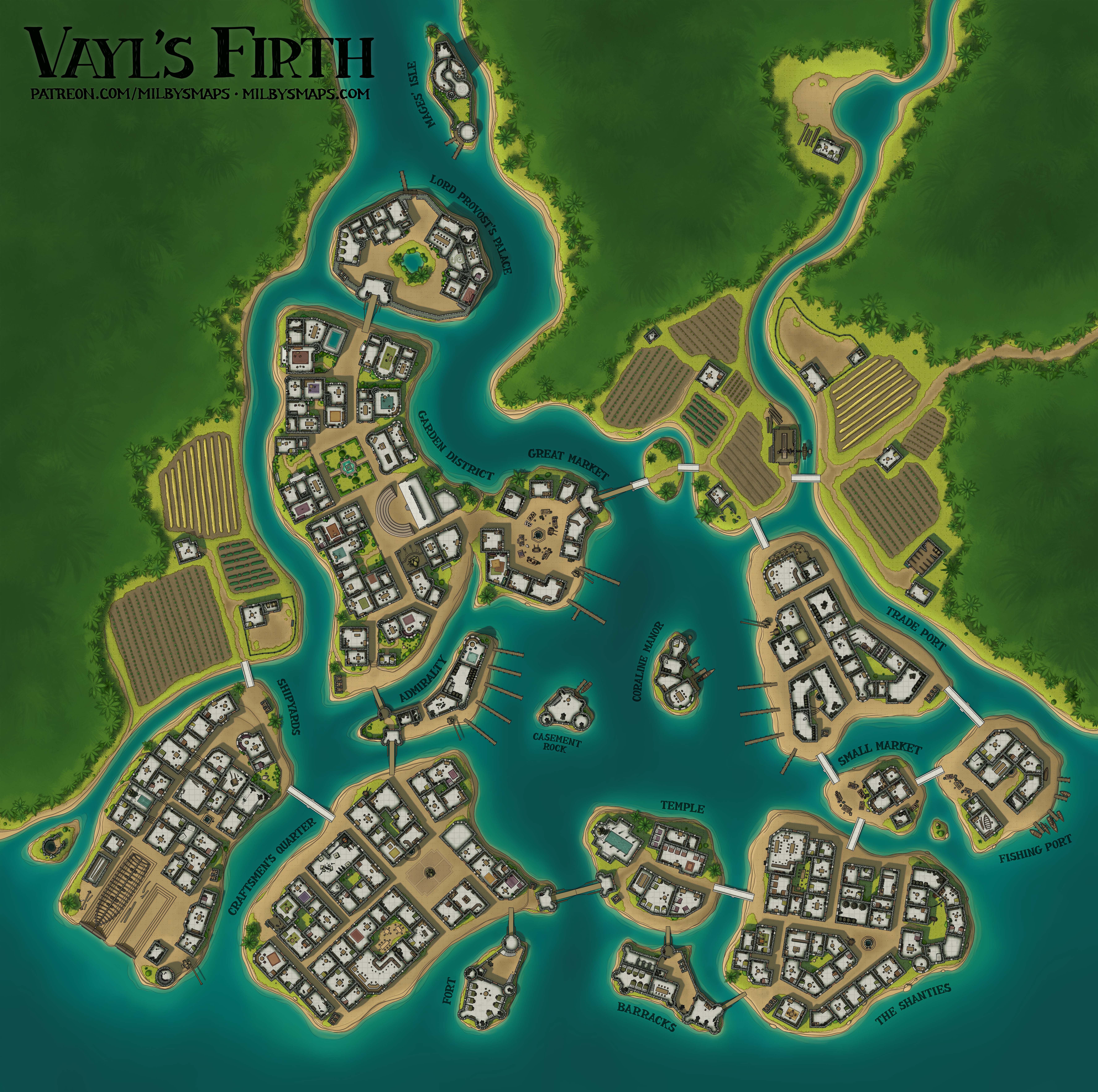
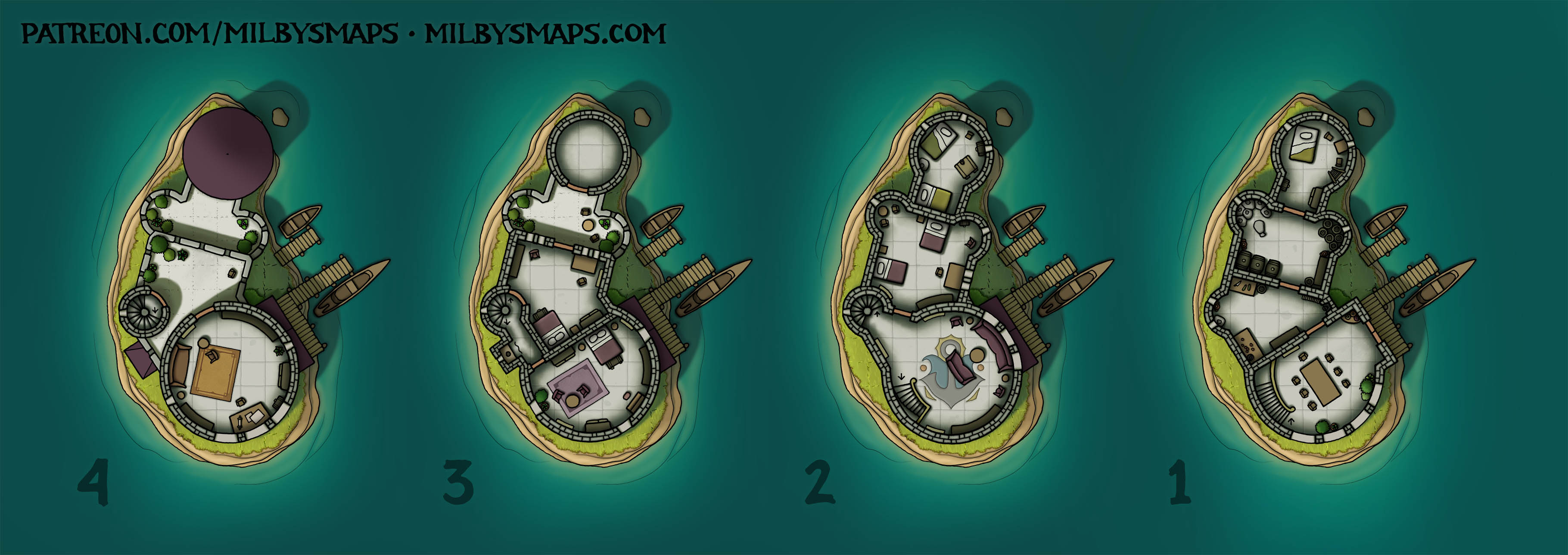
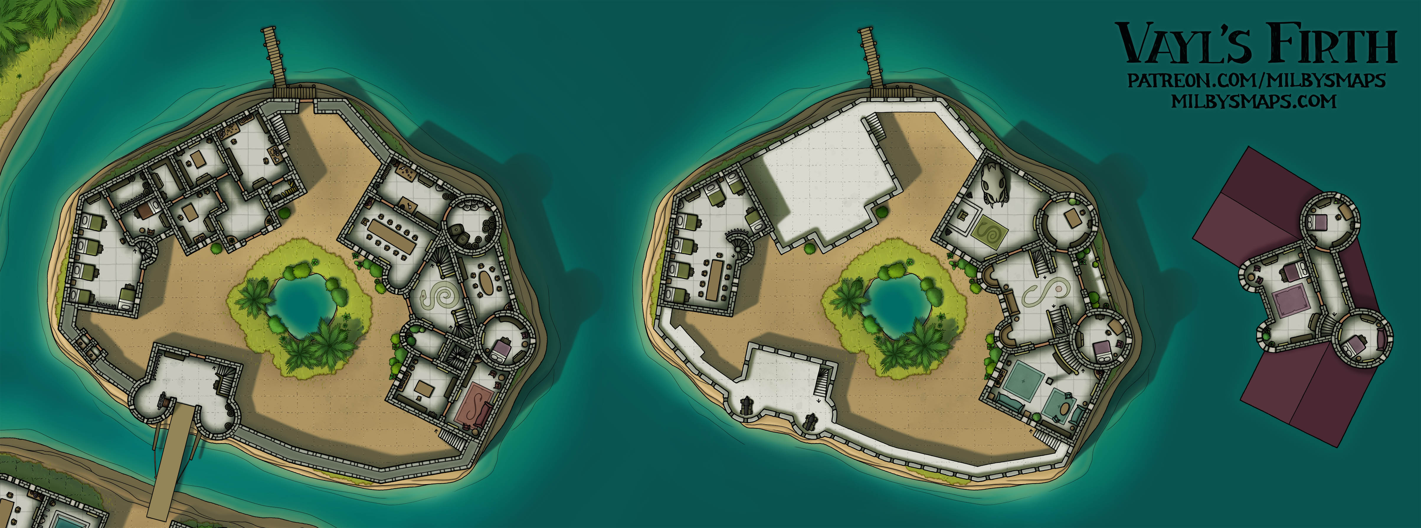
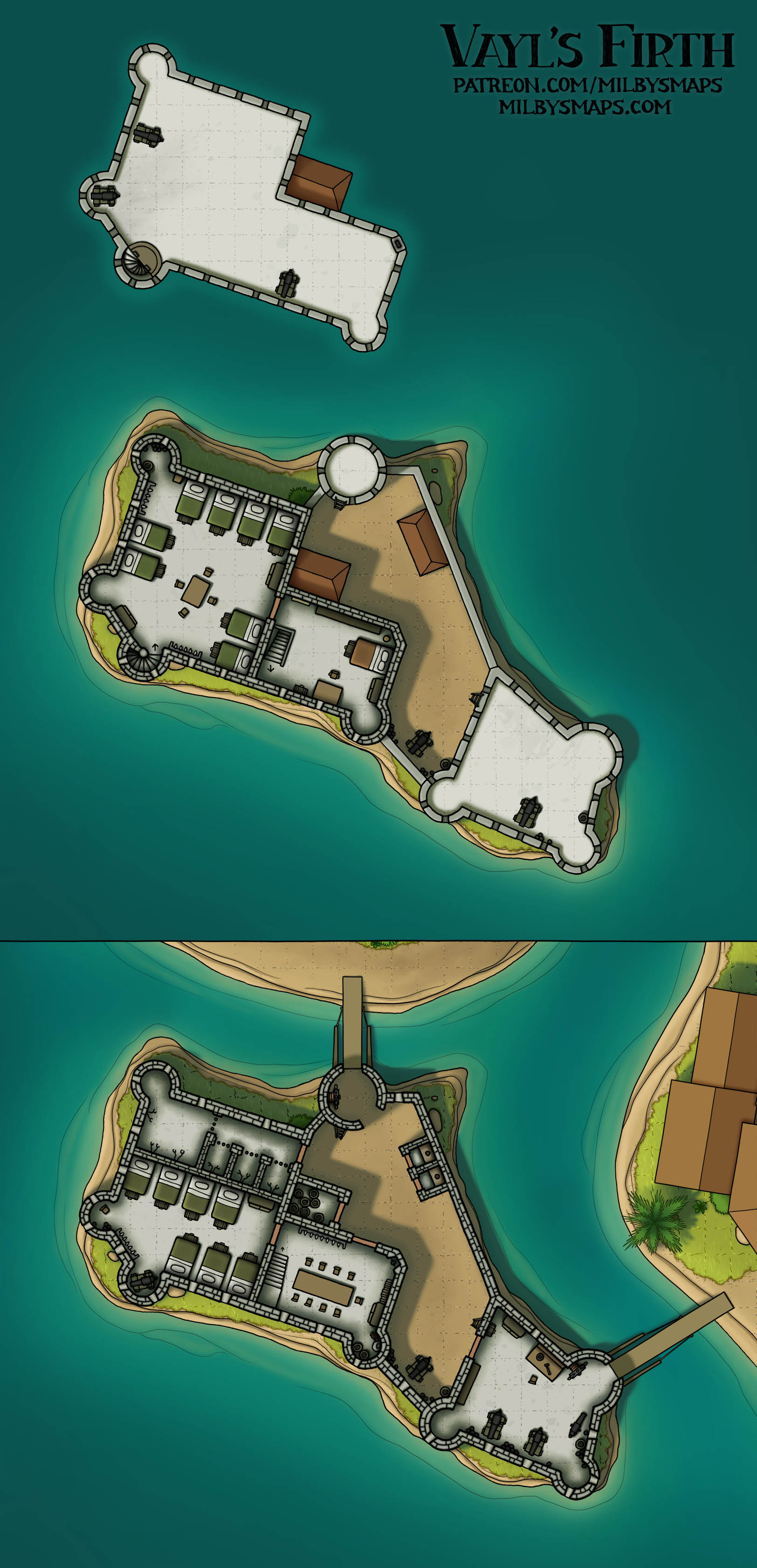
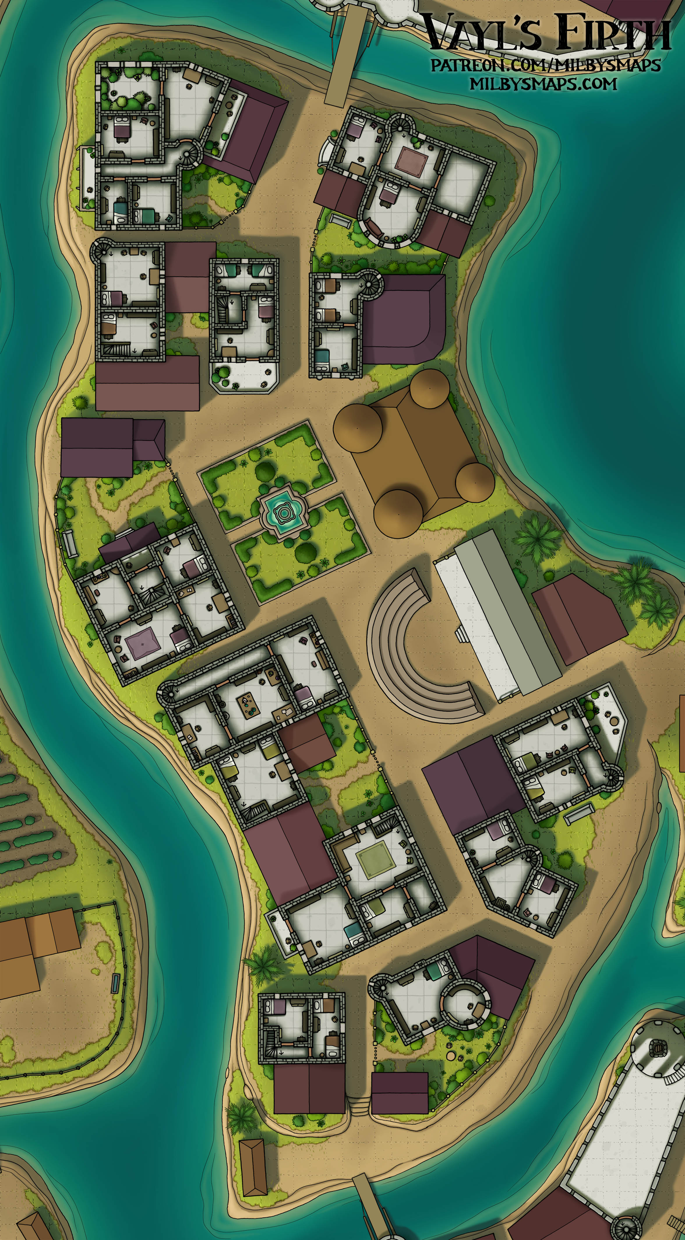
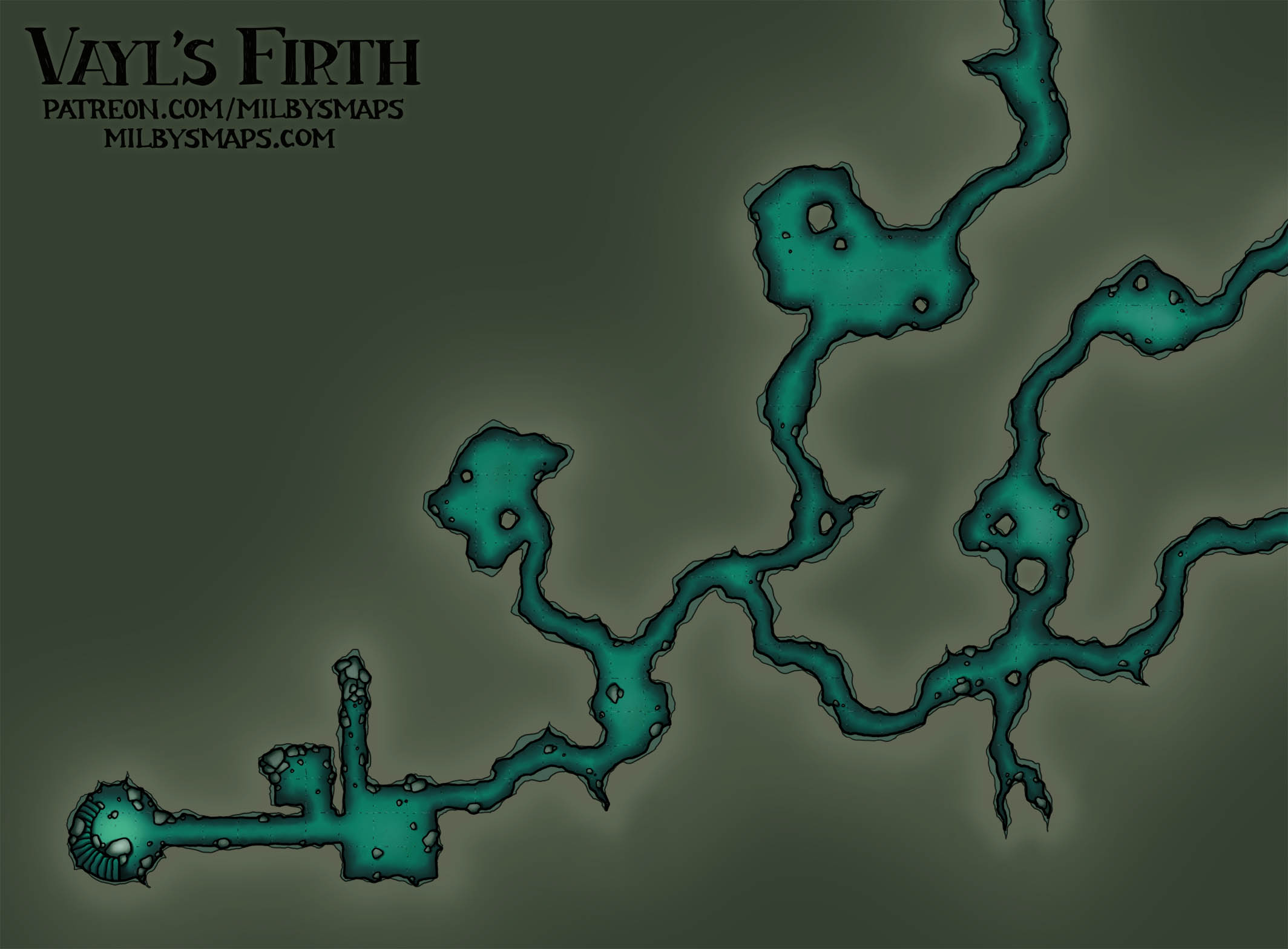
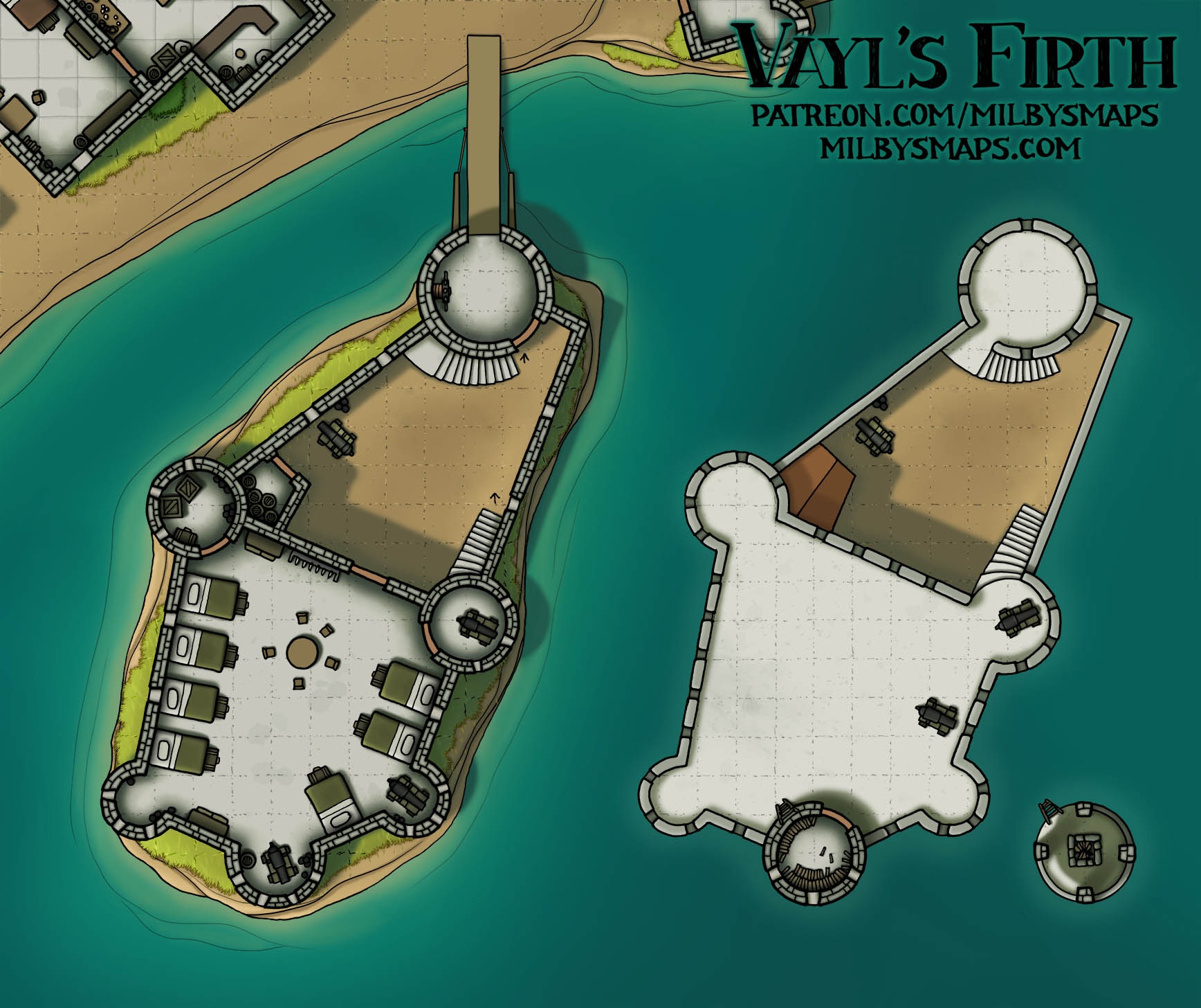
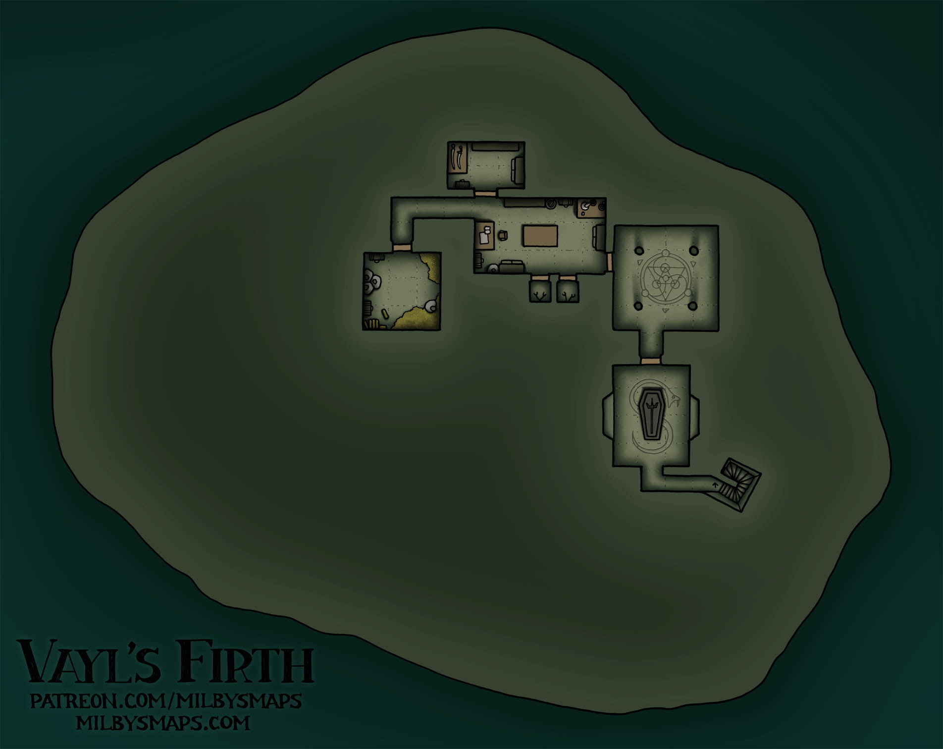
In the seven years that I’ve been making maps for a living, I’ve drawn exactly six city maps. When I say a “city map,” I mean not a battlemap. So stuff like Vayl’s Firth doesn’t count. Here’s the list, from oldest to newest, along with my opinions on them:
- Irredeemable garbage
- Crap, but crap with a few merits. The lore may have saved it.
- Somehow, I think this is worse than the previous one.
- This one might have been okay if I hadn’t decided to color the buildings pink for some reason.
- This map is what Rogue One is to Star Wars sequels. Not incredible, but much better than all the other garbage.
- This map. I think it might be kind of good. I don’t know how or why this happened.
The basic idea for this place is that Lyndorne Falls is a unique kind of trade city. Goods come in on riverboats at the top of the waterfall and they’re moved down to the bottom on cargo lifts, where they get sold on to seafaring traders. Enabling goods from upriver to reach the sea makes this place a big deal, especially if there are a lot of towns out there. Also, the cliffs and the surrounding jungle serve as natural walls to protect the city. On the whole, I’d say it’s a fairly unique town that wouldn’t be hard to find a place for in most settings.
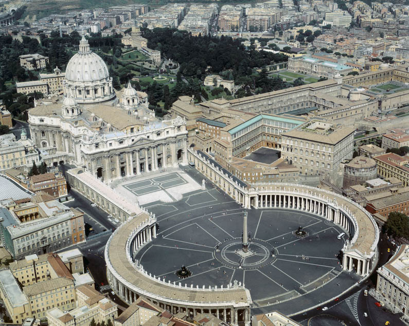
Next, I’m gonna get started on the Vatican megaproject. I’ll be drawing this one piece at a time and I’ll alternate between Vatican maps and other maps, but I’ll start with the famous stuff. First, I’ll be drawing St. Peter’s Square, which looks like this. It’s not the most interesting part of Vatican City, but it is the biggest and it should help me to calibrate the size properly so that all the pieces fit together in the end.
All right, I’m gonna go transubstantiate some paper into a map. Our journey begins.


