
So the first part of the Vatican City megaproject is done. Well, kind of. One of the tricky things about drawing the Vatican is that there are parts of it I haven’t drawn yet in the background. In the top left is the Apostolic Palace and, at the bottom left, there’s a church called Santa Maria della Pieta. That stuff on the right is Italy. So I’ll have to remake this map with all the other stuff included once it’s done.
Also, St. Peter’s Square is huge. Like, this is actually one of the biggest maps I’ve ever made. That’s 199×160 tiles right there. You can fit multiple football fields inside it (either kind). The pope has a pretty big front yard.
The next part of the Vatican I’m going to draw will probably be St. Peter’s Basilica, the entrance to which is on the left. And I’m not gonna lie, I’m a little apprehensive about that. Because, you see, the floor of the basilica looks like this. Am I going to draw all that? Yes. Is it going to look really cool? Probably. Am I looking forward to it? No, I really am not. I’ll be honest with you: I’m a little scared. But it’s gotta be done and I’m going to do it regardless.
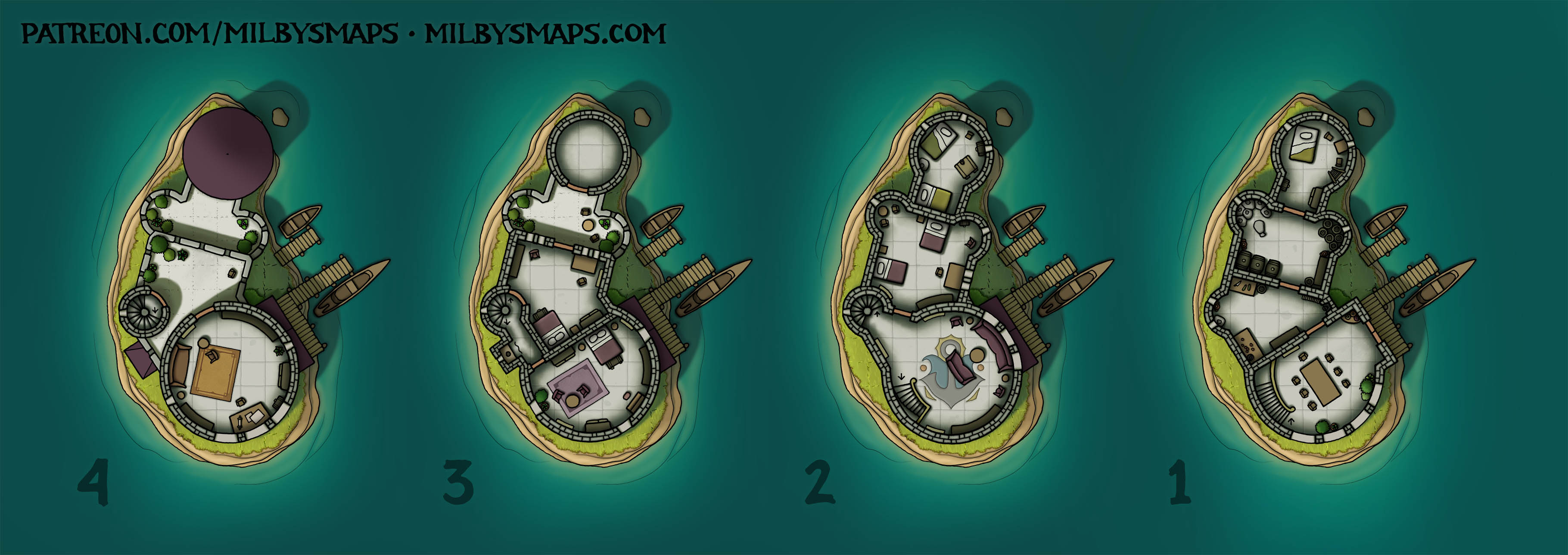
But first, I’ll be drawing last month’s Cartographic Congress winner: a dwarven fort built around a waterfall. There’ll be a lock for boats, a waterwheel or two, stuff like that. And after that, we’re back to the Vatican. Sound good? I hope so.
Anyway, if you’ve got any thoughts or questions, let me know!


