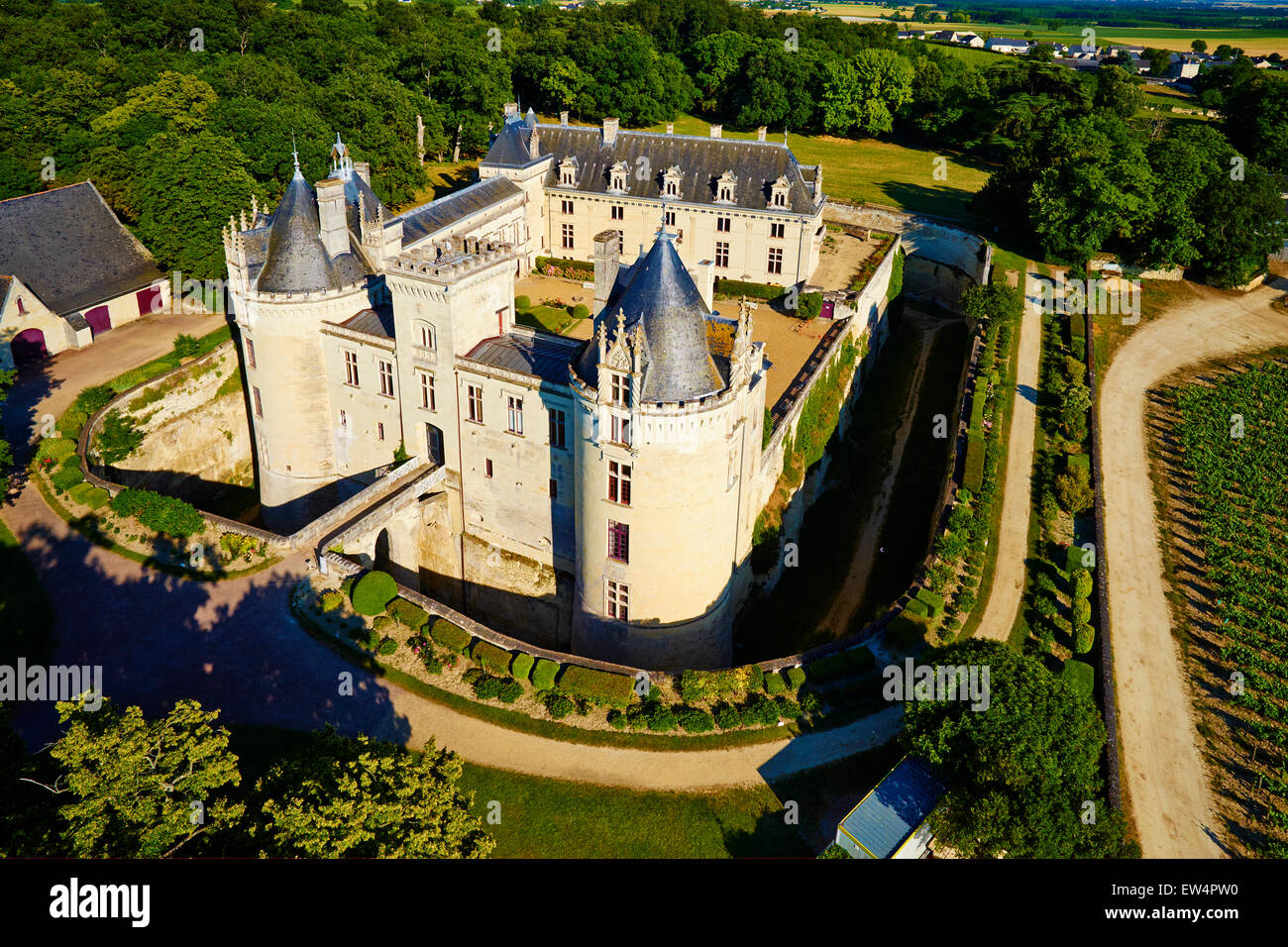
New Giltwater – A Gold Mining Colony

Here’s a version without the mines.

New Giltwater is a gold mining colony in Tir Thelandira. After the last colony was burned to the ground by the island’s native wood elves, the colonists have taken a few more precautions this time around, building a palisade and keeping a few companies of mercenaries close by.

There are only three more maps to draw before Tir Thelandira is finished. After that, I’ve got a few ideas on what to start on next and I’ll probably let patrons vote on which one you want to see first. Here’s what I’m thinking about:

  1. Dhasra. An incredibly wealthy city built across a river delta. The main location on the island would be the White City of Dhasra and I’d draw an overview of the city, then detailed maps of different locations within the city. There might be a couple other locations on the island as well.
  2. A very bleak island whose noble families all became vampires long ago. The peasants are little more than livestock for the nobles, who have established an upper caste of commoners to keep the rest in line. The nobles live in lavish palaces with fountains of blood, while the serfs live as prisoners in their own lands. A few groups of wanderers roam the forests, living free from the predation of the nobility. Deep in the shadows, there is talk of an uprising.
  3. A new version of Tortuga. I’ll redesign it and it’ll probably be a bit smaller, but the same basic idea. Since I’m drawing a world full of islands, it seems like an interesting way to travel between them. It lets the party stay on the move, while also having a community of people they know around them.

By the way, the runoff vote for the next location in Tir Thelandira is open, so if you’re a patron, go over there and participate in democracy. It’s really close right now, so your vote very well might change the outcome.

Anyway, I’d love to hear your thoughts on those three ideas. What you like, what you don’t or what might make them better. I really want to draw all three, but I’d like to hear your opinions first.

Saltiron Prison – Reduced-Moisture Version

Here’s a drier version of the naughty box for those of you who need to send your party to the hoosegow but aren’t near a coastline. Hopefully everyone enjoys their stay and learns some respect for the authorities. Unlikely, but possible.

The next map is going to be a submarine, but I’m going to make a spelljammer version of it as well. Why a submarine? I’m curious about that too. I’ve been getting asked about doing a fantasy submarine quite a bit over the last few months and I don’t know if it’s a coincidence or if there’s a new module out there that involves one. If you can think of a reason submarines might be in demand lately, I’d love to hear it. But, in any case, I’m going to draw one.

Anyway, that’s it for now. Hope you like the map!

Saltiron Prison

I really like how this map turned out, so I’m giving away all the patron stuff to everyone. You can download it here.

Prisons have never been a great place to be, but they seem to have been particularly godawful in the days before the concept of “human rights” became a thing. The prison this map is partially based on– the Chateau D’If— held 3500 prisoners at one point. Now, there are differences between that place and this map, but the prison building itself is about the same size. So imagine 3500 people in that space. A guy named Céphas Carrière, who was held there in 1708, wrote about the experience. To summarize, he said it was hell and people were constantly dying, which is about what you’d expect.

Of course, he and everyone else there at the time were horrible criminals who were guilty of… *checks notes* being the wrong religion. I mean, yes, technically they were worshipping the exact same god, but they were doing it wrong and– look, it’s a problem, okay? It had to be done. Maybe. It’s hard to say.

Anyway, next I’m going to make an alternate version of this map that isn’t on an island. I’ll probably have that done later today or tomorrow at the latest. Okay, I’ll be back with that soon!

Hohenzollern Castle

Here’s the annotated version. No reason both of us should have to type a bunch of text from old, German maps into Google Translate.

I’ve had a few people working on academic papers message me about my historical maps and I want to make something clear for anyone who googled their way here: FOR THE LOVE OF GOD, DO NOT USE MY MAPS AS REFERENCE FOR ACADEMIC RESEARCH. If you can’t find a complete, contemporary floor plan, I probably didn’t either. And– this is important– I’M ALLOWED TO FILL IN THE GAPS BY MAKING STUFF UP. The idea that I might inadvertently rewrite history by making D&D maps is slightly hilarious, but ultimately something to avoid.

*ahem*

With that out of the way, Hohenzollern Castle, in Baden-Württemberg, Germany, was the ancestral seat of the Hohenzollern Dynasty. The Hohzenzollerns were the rulers of Prussia and, later, Germany. They also produced some of the most potent mustaches in Central Europe. Without getting too far into it, let’s just say things went well for the Hohenzollerns right up until they didn’t.

This map turned out to be a ton of work, but I hope you like it. Next, I’ll be drawing the map chosen by the last Cartographic Congress: a small, fortified dwarven port town. Erik, who proposed the idea, plans to use it as a part of Brazenthrone, so I guess you could consider this an unofficial expansion of the dwarven city.

Okay, that’s it. I’d love to hear what you think of Hohenzollern Castle!

Laon, France

I don’t draw a ton of city maps and this is the first one that I’m really happy with. Hopefully you like it too, or at least agree that it’s less crap than usual.

Laon has been around for a long time and, if you’re going to draw a map of it, you have to pick a specific point in time to depict. Well, in theory you do. I didn’t. I used several maps from various points in time as reference and, as a result, this is a sort of mash-up of several centuries of the city’s history. I don’t think that’ll be a problem for most people, but, you know, don’t use this in your Master’s thesis on the history of the Kingdom of West Francia.

Next, I’ll be drawing another map for Tir Thelandira. This time, it’ll be the Blackboots camp. The Blackboots are a mercenary company with a nasty reputation and they’re basically the other side of the coin from Glaver’s Regiment. Whereas Glaver’s Regiment is well-organized, professional and honorable, the Blackboots are filthy, drunk and cruel.

I don’t know exactly what the Blackboots camp will look like, but I can tell you two things right now:

  1. There will be yurts
  2. You can probably use it as an orc village if you want

After that, I’ll probably draw whichever map wins the vote for Tir Thelandira’s location #1. If you’re a patron and you haven’t voted in the runoff, go do that.

Anyway, I hope you like the map! Also, does Laon look like the Italian Peninsula to anyone else? I just noticed it. The bottom-left part is Sicily, tell me I’m not crazy.

Glaver’s Regiment

So, let me start by acknowledging that Glaver’s Regiment is maybe a little small for a regiment. It’s really more like Glaver’s Company. I hadn’t realized that until I counted the beds and realized that there’s only space for about 127 soldiers here. Let’s chalk it up to attrition.

This map was inspired by the marching camps of Roman legions, who would build a defensive stockade and dig a ditch around it whenever they made camp for the night. They were able to get this done in a few hours by bringing the wooden stakes for the walls wherever they went.

There are actually a few of these around today. Well, kind of. You see, when a legion stayed in one place for a while, they would reinforce their camp. Build towers, reinforce wood with stone, replace tents with buildings and so on. Some of those are still standing.

A few European cities actually originated as Roman forts or “castra.” Castres in France is one example, as is any place in the UK with a name ending in -caster, -cester or -chester. There are quite a few of those, which suggests that the English were a fairly rowdy bunch in the ancient times. And the Great Wall of Scotland tells you everything you need to know about Rome’s issues with the folks to the north.

Next, I’ll be drawing a city map based on a real place: Laon, France. It’s a walled town with a cathedral, a palace and a templar church. Here’s a photo. It’s a classy place and I think it’ll fit right into a fantasy setting. After that, I’ll be back to work on Tir Thelandira.

Well, that’s it for now. Let me know what you think of the map!

The Stonestead

The Stonestead is a broch. They’re a real thing and there are a bunch of them in Scotland. I drew this particular broch for the island of Tir Thelandira, whose wood elf inhabitants have a distinctly Celtic-flavored culture.

The Stonestead is the elves’ first foray into large-scale stone construction. Built to defend a gap between the northern and southern parts of their forest, it’s meant to ensure that, should the Dhasran colonists or their mercenaries decide to march on the elven lands, they have to either fight their way through the fort or venture into the woods, where they’ll be easy prey for elven archers and ambushers. Neither option is great– but, of course, that’s the idea.

I’ve received quite a few proposals for new locations for Tir Thelandira. If you’re a patron who’s got an idea you’d like me to add to the ballot, you’ve still got time to shoot me a message. Just to recap, the proposals are for either the location marked “1” on this map OR the swamp to the east of Oakenhold. I’ll be posting the first vote in a few days.

Next up is an East Asian-style village built into a cliffside. This picture should give you an idea of the sort of thing I’ll be drawing. Personally, I think that’s nuts. I mean, how is that a real place? What happened there? I don’t know, but I’m glad it did. Because that’s awesome.

Caergyd Point (Complete)

Since this is fairly big, here’s the cave and the castle separately.

I just have one piece of advice for any DM whose party takes up residence in this castle: that cave is not a safe place to dock a ship. It’s out of sight and it gives a group of thieves plenty of time to get it ready to sail without anyone seeing. So, if they don’t station a guard down there to watch it, have somebody steal it. Maybe one of the PCs wakes up in the middle of the night and sees their ship pulling out of the cave.

It doesn’t have to be more than a short encounter. You could give them enough time to grab their swords and leap for the mast as the ship is pulling away. I’m just saying, a completely unexpected, butt-naked pirate battle in the middle of the night sounds like some pretty good D&D to me. Worth considering, at least.

Next, I’ll be updating the Tir Thelandira map with all the locations I’ve got planned. I just want to give everybody a better idea of what the island is going to look like once it’s finished. I’ll post that tomorrow, along with a brief description of what I’m planning to do with each of the locations. After that, I’ll pick one and draw it. Okay, see you then!

Caergyd Point

Caergyd Point was inspired, in part, by Conwy Castle in Wales. “Caergyd” is my attempt at a made-up Welsh castle name. All I really know about Welsh is that there are several castles with names that start with “Caer” and that a lot of Welsh words have a Y in them. This is the culmination of those two pieces of knowledge. Hopefully it’s passable.

This map was largely designed to be an ideal castle for a party to buy or otherwise acquire. To that end, it’s got a lot of things a party would want in a castle: a smithy for repairing equipment, a laboratory/study for the wizard, a chapel for the cleric, a kennel for whatever filthy creature follows the ranger around, a secret room, a tavern, a trading post to unload loot, and several empty rooms for the party to do what they want with.

There’s one more part of this map to finish: the sea cave underneath. I decided to make it separate in order to keep the map from being too huge. It’s about half-finished already and I should have it up tomorrow.

There are only three things in the cave: a dungeon, storage space, and a parking spot for a ship. Still, for parties that do a lot of sailing, it’ll be pretty useful. Or if you want to use this place as a pirate fort. Or if you want to have the party storm the castle to kill the bad guy, but leave a way for them to escape. I guess it opens up a few options.

Anyway, I’m gonna wrap that last bit up. Let me know what you think!

Point Caergyd (Almost Done)

I’m almost finished coloring this and it should be done by tomorrow, but here’s a look at it anyway. I meant to post this a few days ago, but I got a new computer recently and it doesn’t have a slot for my camera’s memory card, so I decided I’d buy one the next day. But that was St. Patrick’s Day and, here on the Isle of Emeralds, the stores close for that. Then I realized that the mysterious hole in the side of my tablet was a card reader, so here’s the picture.

Anyway, I’m gonna finish this up and I’ll have it for you tomorrow.